What is recorded here
One and a half metres of karst limestone stands on a steep Galway slope, its upper edge worn smooth by centuries of cattle rubbing against it. The stone leans slightly, darker at its lower end where rain and time have softened the edge, while solution holes dot its face like forgotten punctuation. It may have marked a boundary, a burial, or a place where people gathered before roads existed. Whatever it meant, the animals knew it as a rubbing post long before humans wrote it down.
On a fairly steep S-facing slope, near the base of a narrow pasture ridge. This standing stone, comprising a piece of karst limestone pavement (L 1.5m; Wth 0.6m at NNE end, narrowing to 0.45m at SSW end) that has been set on edge, is orientated NNE-SSW. It is roughly rectangular in plan but L-shaped in profile and is 1.45m in maximum height at its NNE end. At its lower SSW end it is only 0.5m high. A number of solution holes are evident on the stone. One small boulder at the base of the stone on its E side may be a packing stone. Loose stones on its W side may be the result of field clearance. Lichen covers all faces of the stone and the NNE is smooth as a result of cattle rubbing against it.
Compiled by: Olive Alcock
Date of upload: 24 October 2017
Likely dating to the Neolithic or Bronze Age, this standing stone may have had ritual or territorial significance, possibly linked to early farming communities in the region. No specific folklore or detailed use has been recorded for this site.
The monument record does not grant public access. Check the route and ask the landowner before entering private land.
- What survives
- Recorded monument
Places near here
 Keaghery IslandWood · 759 yd
 Castle in ruinsCastle, tower house · 868 yd
 Castle IslandIsland · 904 yd
 IndicatedEnclosure · 1104 yd
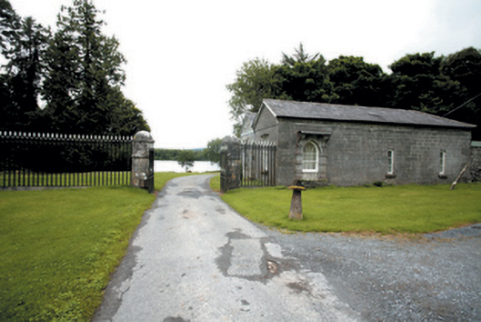 Lough Cutra Castlegate lodge · 1186 yd
 Apple IslandWood · 1284 yd
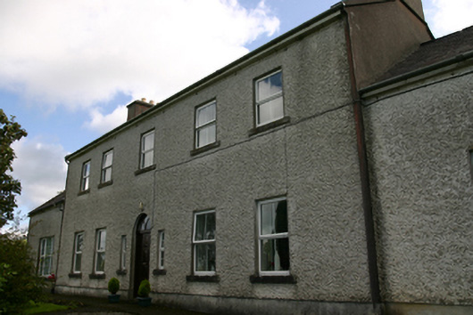 Prospect Housecountry house · 1467 yd
 Structure in BunnasrahStructure · 1475 yd
 Castle (in ruins)Castle, tower house · 1738 yd
 Holly IslandIslet · 1.0 mi
 Kilmacduagh MonasteryHeritage attraction · 3.8 mi
 Kilmacduagh Monastic SiteVisitor information · 3.8 mi