What is recorded here
Unlocated within townland, site of standing stone described in the OS field name books where it records the following 'This townland derives its name from a longstone which stood in the west corner of it, this stone was called "Cloghfadda" which signifies long stone and was broken up about 20 years ago and contained about 7 cart loads of limestone (O'Donovan et. al. 1840). This standing stone has been associated with a barrow (TN26-056) on Knockaunreagh in the NW of the townland.
The above description is derived from 'The Archaeological Inventory of County Tipperary. Vol. 1 - North Tipperary' compiled by Jean Farrelly and Caimin O'Brien (Dublin: Stationery Office, 2002). In certain instances the entries have been revised and updated in the light of recent research.
Date of upload/revision: 22 September 2008
The monument record does not grant public access. Check the route and ask the landowner before entering private land.
- What survives
- Recorded monument
Places near here
 R.C. Chapel, Grave YardChurch · 1071 yd
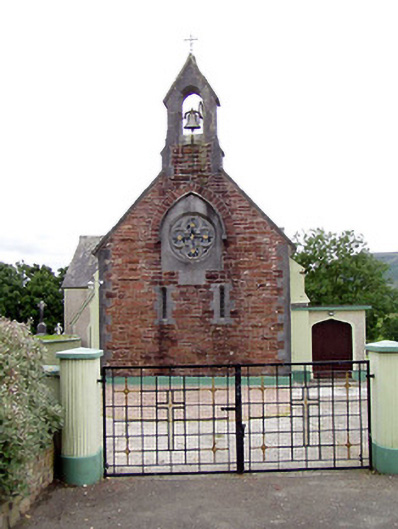 Catholic Church of the Sacred Heartchurch/chapel · 1080 yd
 Fulacht fia in ClonaloughFulacht fia · 1.2 mi
 Doonan's HillMountain / peak · 1.7 mi
 IndicatedFairy fort / earthen ringfort · 2.0 mi
 Ballyhourigan WoodsForest · 2.0 mi
 Silvermine Mountains W TopMountain / peak · 2.2 mi
 Dunalley Castle (in ruins)Castle, unclassified · 2.8 mi
 Site of Ballygown CastleCastle, unclassified · 3.6 mi
 The MinerMemorial · 3.6 mi
 Our Lady Assumed into HeavenMemorial · 3.6 mi
 Silvermines ViewpointViewpoint · 3.8 mi