What is recorded here
In pasture, on a NW-facing slope overlooking the Lakes of Killarney. The stone (dims. 0.75m x 0.66m; H 1.36m) is subrectangular in plan and elevation and orientated N-S. It has a small perforation through it. According to local information, the stone was found lying on the ground and was subsequently erected. (Dunne 2001a).
Compiled by: Elizabeth Byrne, Ursula Egan and Sheila Ronan, Archaeological Survey Unit, University College, Cork.
Date of upload: 31 January 2011
Likely dating to the Bronze Age, the perforation may have had ritual or symbolic significance, possibly used for hanging offerings or as part of a ceremonial structure. Such stones are often associated with territorial markers, burial practices, or early religious observances.
The monument record does not grant public access. Check the route and ask the landowner before entering private land.
- What survives
- Recorded monument
Places near here
 IndicatedFairy fort / earthen ringfort · 385 yd
 Sheheree Bog Nature ReserveNature reserve · 726 yd
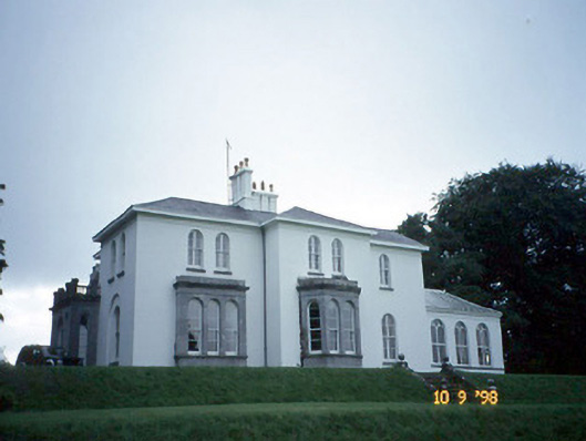 Coolclogher Housecountry house · 763 yd
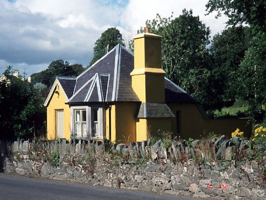 Muckross Housegate lodge · 927 yd
 Cross (present location) in CarrigafreaghaneCross (present location) · 1012 yd
 McCarthy Mor CastleCastle · 1123 yd
 Flesk CastleCastle · 1292 yd
 Castlelough BayBay · 1.1 mi
 The Blue PoolGallery · 1.1 mi
 Muckross AbbeyHeritage attraction · 1.2 mi
 Killarney First World War MemorialMemorial · 1.2 mi
 Osprey RockIsland · 1.3 mi