What is recorded here
Situated on a slight NE-SW ridge on the lower NW-facing slope of Saddle Hill, and overlooking Lough Melvin which lies to the NE. There is a limestone standing stone (H 0.7m) in the NE quadrant of hillfort (LE008-004001-), which is probably not ancient.
Compiled by: Michael Moore
Date of upload: 29 January, 2016
The monument record does not grant public access. Check the route and ask the landowner before entering private land.
- What survives
- Recorded monument
Places near here
 Big FortCeremonial enclosure · 42 yd
 Church in DerrynahimmirkChurch · 1242 yd
 Saddle HillMountain / peak · 1423 yd
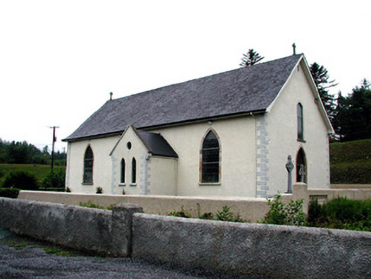 Saint Aidan's Catholic Churchchurch/chapel · 1.4 mi
 Mass-rock in DerrynahimmirkMass-rock · 1.5 mi
 Fowley's FallsPicnic place · 1.5 mi
 Giant's GraveArchaeological place · 2.3 mi
 Dough MountainMountain / peak · 2.5 mi
 Kilroosk RockNamed rock · 2.6 mi
 Ross PointHeadland · 3.0 mi
 Ashisland WoodForest · 4.3 mi
 Sally IslandIslet · 4.5 mi