What is recorded here
Kenmare Bay breathes beneath a fallen ridge stone, its SE end propped on a smaller rock after centuries of hill wind and forgotten hands. The NE-SW line still points across rough pasture, while probable packing-stones at the NW end suggest people once set it deliberately rather than leaving it to chance. Whatever it marked has vanished, but the stone remains wide enough to touch, long enough to measure against a human body, and steady enough to prove that the ridge was never empty.
In rough hill pasture, on the ridge of a N-facing slope overlooking Kenmare Bay. This standing stone (1.35m x 0.35m; L 3.3m) has fallen and its SE end rests on a smaller stone. The present position of the stone suggests an original NE-SW orientation. There are probable packing-stones at its NW end.
The above description is derived from the published 'Archaeological Inventory of County Kerry. Volume I: South-West Kerry' (Dublin: Stationery Office, 2009). In certain instances the entries have been revised and updated in the light of recent research.
Date of upload: 30 May 2011
The monument record does not grant public access. Check the route and ask the landowner before entering private land.
- What survives
- Recorded monument
Places near here
 Megalithic structure in CanfeeMegalithic structure · 567 yd
 Mass-rock in DerryrushMass-rock · 898 yd
 KnockateeMountain / peak · 1014 yd
 Habitat of DerreeniesNature reserve · 1.4 mi
 DrombohillyMountain / peak · 1.4 mi
 Soft Tree-fernSoft Tree-fern · 1.5 mi
 Derreen Househouse · 1.5 mi
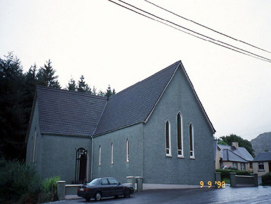 Saint Killian's Catholic Churchchurch/chapel · 1.6 mi
 Rossmore IslandIsland · 2.5 mi
 Ormond's IslandIslet · 2.8 mi
 DroppaCliff · 4.2 mi
 Lackeen PointHeadland · 4.4 mi