
What is recorded here
In rough pasture, on a SW-facing slope, at the NW side of the Lehid-Kilmakilloge road. This mass-rock consists of a secluded shelf (3.2m x c. 1m; H 0.7m) in outcropping rock (H c. 2m) which is overgrown with heather and brambles. According to local information, mass was celebrated here in Penal times. There is a possible bullaun stone (KE108-059002-) c. 10m to the NW on the opposite side of the road.
The above description is derived from the published 'Archaeological Inventory of County Kerry. Volume I: South-West Kerry' (Dublin: Stationery Office, 2009). In certain instances the entries have been revised and updated in the light of recent research.
Date of upload: 30 May 2011
The monument record does not grant public access. Check the route and ask the landowner before entering private land.
- What survives
- Recorded monument
Places near here
 Megalithic structure in CanfeeMegalithic structure · 586 yd
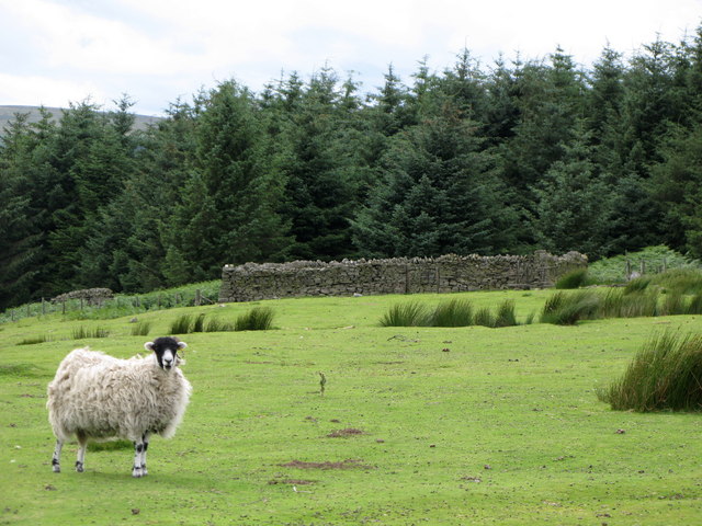 SheepfoldHut site · 675 yd
 KnockateeMountain / peak · 1418 yd
 Habitat of DerreeniesNature reserve · 1.2 mi
 Soft Tree-fernSoft Tree-fern · 1.3 mi
 Derreen Househouse · 1.4 mi
 IndicatedHouse, vernacular house · 1.5 mi
 DrombohillyMountain / peak · 1.8 mi
 Rossmore IslandIsland · 2.6 mi
 Ormond's IslandIslet · 3.3 mi
 DroppaCliff · 4.5 mi
 Ardgroom Pulleen LoopWalking route · 4.8 mi
Other information
Photo: Credit not shown in the picture search · Rights wording not checked; contact us if this picture should be removed