What is recorded here
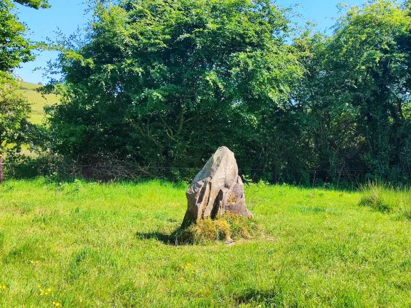
Located in poorly drained upland coniferous plantation on E facing slope of rising ground in mountainous region with extensive views of the surrounding countryside from NE through E to SE and higher ground to the W. Irregular shaped standing stone (H 1.5m; Wth 0.2-0.5m; T 0.5m) located beside a forestry road on a local walking route known as the Kilcommon Pilgrim Route. The irregular shape of the standing stone along with the lack of a tapering point at the top of the stone casts doubt on the antiquity of this monument. It is possible that that the stone may have been erected in the post-medieval period as a scratching stone for grazing animals although there is no evidence of a smooth surface where rubbing may have occurred on the edges of this stone.
Compiled by Caimin O'Brien
Date of upload/revision: 27th October 2011
The monument record does not grant public access. Check the route and ask the landowner before entering private land.
- What survives
- Recorded monument
Places near here
 Penal Mass station in Laghile (abington Par.)Penal Mass station · 590 yd
 MauherslieveMountain / peak · 1592 yd
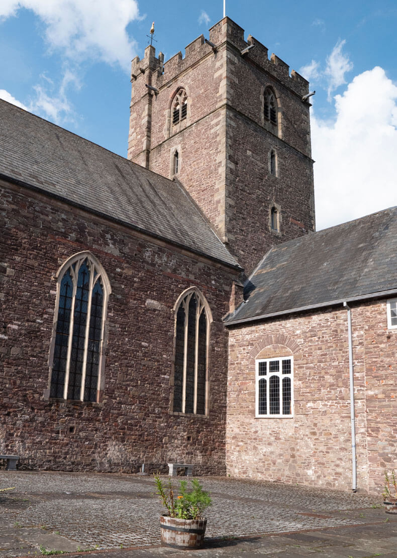 Benedictine Priory (site of)Church · 1.2 mi
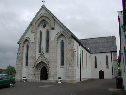 Saint Patrick's Catholic Churchchurch/chapel · 1.2 mi
 Enclosure in CoonmoreEnclosure · 1.5 mi
 KnocknabanshaMountain / peak · 1.9 mi
 Site of Cloghonan CastleCastle, unclassified · 6.2 mi
 Castle OtwayCastle, tower house · 6.5 mi
 Killavalla WoodForest · 7.6 mi
 Sliev Felim WayVisitor information · 10 mi
 ToberagaddySpring · 12 mi
 The Pollagh TrailNature reserve · 13 mi