What is recorded here
The Argideen valley drops away south of the pasture, but the rectangular stone still points northeast and southwest as if marking a lost road. It stands ninety centimetres tall, barely larger than a person’s outstretched arms, yet it has watched the grass grow and the water move for generations. Perhaps people once gathered there to measure shadow, remember a name or warn a traveller about the depth below.
In pasture overlooking Argideen River valley to S. Rectangular stone aligned NE-SW (H 0.9m; 0.8m x 0.4m).
The above description is derived from the published 'Archaeological Inventory of County Cork. Volume 1: West Cork' (Dublin: Stationery Office, 1992). In certain instances the entries have been revised and updated in the light of recent research.
Date of upload/revision: 14 January 2009
The monument record does not grant public access. Check the route and ask the landowner before entering private land.
- What survives
- Recorded monument
Places near here
 LisnafohanaFairy fort / earthen ringfort · 706 yd
 Fulacht fia in Knocks (carbery East (w.d) By.)Fulacht fia · 1357 yd
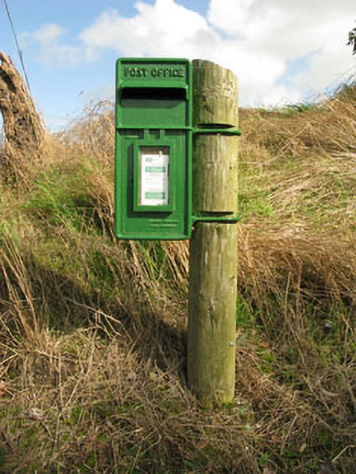 post boxpost box · 1501 yd
 Castleventry Church (in Ruins)Church · 1.3 mi
 Clasharusheen Mansion (Site of)Castle, unclassified · 1.4 mi
 Ballinvard CastleCastle · 1.8 mi
 Michael Collins BirthplaceHistoric birthplace · 2.4 mi
 Jeremiah O'Donovan RossaMemorial · 2.5 mi
 Michael Collins MemorialMemorial · 2.8 mi
 CarrigfaddaMountain / peak · 3.8 mi
 Corran HillMountain / peak · 4.3 mi
 Clonakilty Blackpudding Visitor CentreHeritage attraction · 4.8 mi