What is recorded here
On a S-facing slope. A standing stone (dims. c. 0.6m x c. 0.3m; H c. 0.9m) was dislodged from a mound (RO010-087002-) in 1967 when bones were reputedly found (NMI file). There is no visible surface evidence of the standing stone or mound in a pasture field. Rath (RO010-088----) is c. 60m to the E.
Compiled by: Michael Moore
Date of upload: 24 August 2010
Likely dating to the Neolithic or Bronze Age, this standing stone may have been part of a burial or ritual monument, suggested by its association with a mound and the discovery of bones. Local folklore or specific use is not recorded.
The monument record does not grant public access. Check the route and ask the landowner before entering private land.
- What survives
- Recorded monument
Places near here
 Embanked enclosureFairy fort / earthen ringfort · 106 yd
 Castle (Site of)Castle, unclassified · 534 yd
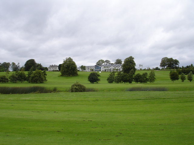 IndicatedFairy fort / earthen ringfort · 954 yd
 Canbo CastleHouse, 16th/17th century · 1.0 mi
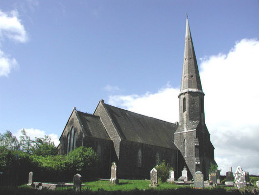 Holy Trinity Church (Killummod)church/chapel · 1.3 mi
 Moylung Castle (in ruins)Castle, unclassified · 3.3 mi
 Coolnahinch WoodWood · 3.9 mi
 Church WoodWood · 4.0 mi
 War of Independence Commemorative Military MemorialMemorial · 4.2 mi
 Moon RiverHeritage attraction · 5.1 mi
 Patrick Gill Memorial Plaque (IRA)Monument · 7.7 mi
 Strokestown House GardensHeritage attraction · 9.3 mi