What is recorded here
Knocknatubbrid lost its standing stone about fourteen years ago, erasing a marker that once rose among granite boulders in County Carlow. A cist excavated thirty metres away in 1930 contained a squat stone measuring 1.1 metres high, suggesting the area served burial or ritual purposes. The disappearance transforms a visible landmark into a forgotten gap, forcing imagination to complete what the land no longer shows.
The following description is derived from the published 'Archaeological Inventory of County Carlow' (Dublin: Stationery Office, 1993). In certain instances the entries have been revised and updated in the light of recent research.
Date of upload/revision: 17 July 2007
Removed about fourteen years ago. Cist (CW013-039----) 30m from stone excavated in 1930. Photograph in excavation report shows squat stone (H 1.1m; 1.4m x 0.4m) (JRSAI 1939, 103). Area has many large boulders of granite.
The monument record does not grant public access. Check the route and ask the landowner before entering private land.
- What survives
- Recorded monument
Places near here
 Enclosure in RatheeraghEnclosure · 884 yd
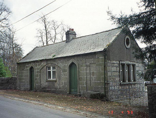 forge/smithyforge/smithy · 928 yd
 Aghade Bridgebridge · 961 yd
 RatheeraghFairy fort / earthen ringfort · 1008 yd
 Castlegrace MoatCastle, motte · 1.3 mi
 CastleCastle, motte and bailey · 1.6 mi
 Scots PineScots Pine · 2.0 mi
 Altamont House and GardensHeritage attraction · 2.1 mi
 Altamont Gardens MapVisitor information · 2.1 mi
 Church (in ruins), GraveyardChurch · 2.7 mi
 Rath WoodForest · 2.9 mi
 Kilmurry Church (in ruins), GraveyardChurch · 4.3 mi