What is recorded here
On the edge of a terrace of a N-facing slope of hills, on the W side of the mountain road known as ‘The Mayor’s Walk’, overlooking the Suir river valley. There is a sheer fall of 3-4m to the valley floor c. 1-2m to the N. There are very good to extensive views to the N, E and W with Slievenamon Mountain dominating to the NE. The view is impeded upslope to the S. A cairn (WA001-044----), though not visible from the standing stone, is located on the summit of the hill c. 1.6km to the SSW. Identified and reported by Aoibheann Lambe , 21 March 2018. A sandstone standing stone (basal dims. 0.8m x 0.47m; H 1.2m) with some quartz pebble inclusions, roughly rectangular in plan, aligned E-W and embedded in the ground. The top surface, which slopes upwards to the E, is quite smooth, possibly indicating the stone was originally taller and that at some stage the upper portion sheared off due to natural weathering. The broad faces narrow towards the top (top dims. 0.5m x 0.47m).
Compiled by: Jean Farrelly
Date of upload: 16 April 2018
Probably dating to the Late Neolithic or Bronze Age, this standing stone may have had ceremonial or territorial significance. Its position overlooking the Suir river valley suggests a possible role in navigation, boundary marking, or as a focal point for local rituals.
The monument record does not grant public access. Check the route and ask the landowner before entering private land.
- What survives
- Recorded monument
Places near here
 Ashbournehouse · 427 yd
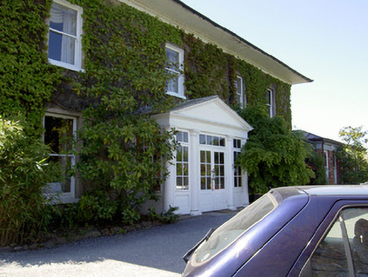 Raheen Househouse · 435 yd
 Black WalnutBlack Walnut · 552 yd
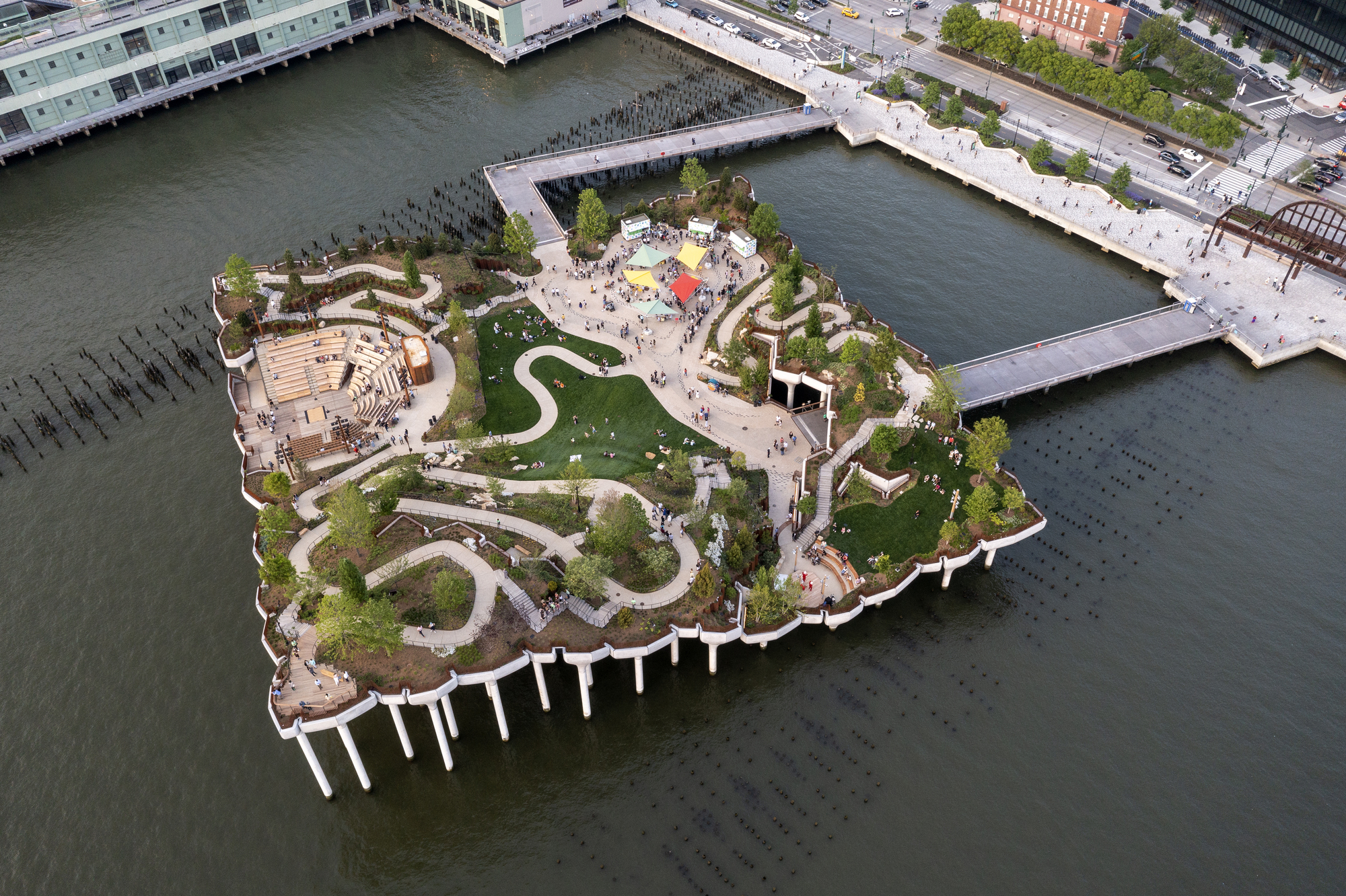 Little IslandIslet · 556 yd
 Allen, Larkin and O'Brien MonumentMonument · 595 yd
 RetrospectMemorial · 598 yd
 Creamery (site of)Archaeological place · 743 yd
 Main GuardHeritage attraction · 790 yd
 Streches IslandIsland · 796 yd
 Charles BianconiMemorial · 804 yd
 CastleCastle, unclassified · 837 yd
 Merchant's HouseVisitor information · 852 yd