What is recorded here
Situated on the S quadrant of a possible levelled cairn (LI013-209----) located on a SE-facing slope of a steep hill in rolling pasture with good views to E, W and S. Irregular limestone upright boulder (H 0.7m; Wth. 0.9m Th. 0.35-0.4m).
Probably dating to the Neolithic or Bronze Age, this standing stone may have been part of a ritual or funerary landscape associated with the adjacent levelled cairn. Its purpose may have been commemorative, ceremonial, or to mark territorial boundaries.
The monument record does not grant public access. Check the route and ask the landowner before entering private land.
- What survives
- Recorded monument
Places near here
 Not indicated, 394 ft. ODSettlement cluster · 190 yd
 Burial ground in KnockeaBurial ground · 201 yd
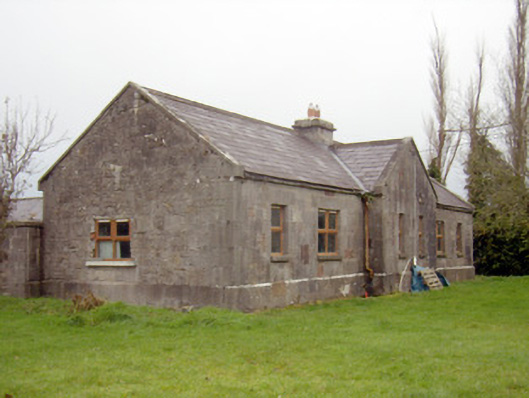 outbuilding, stablesoutbuilding, stables · 592 yd
 Edwardstown Housecountry house · 680 yd
 Ballynagarde Ho.Castle, tower house · 1407 yd
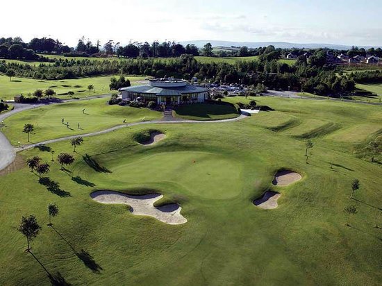 Ballyneety Castle (Site of)Castle, unclassified · 1735 yd
 ToberauillinSpring · 1.1 mi
 Carnane RockNamed rock · 2.1 mi
 Graveyard in AbingtonGraveyard · 6.7 mi
 St. Patrick's WellSpring · 8.5 mi
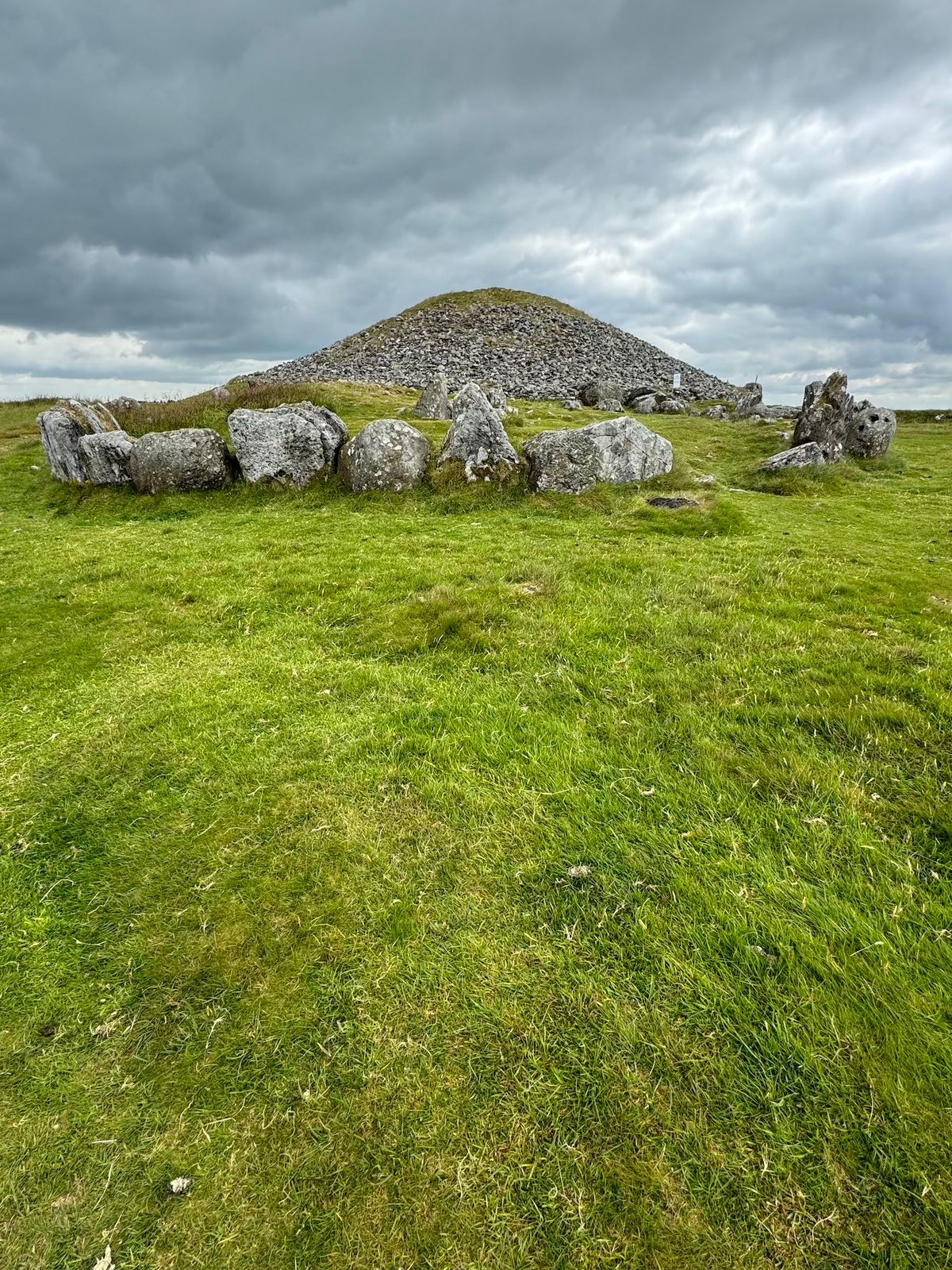 CairnCairn, unclassified · 219 yd
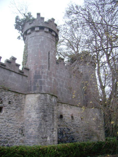 Glen Viewoutbuilding · 807 yd