What is recorded here
Knockbrogan holds a rectangular standing stone aligned east-west, rising 1.8 metres above pasture that overlooks the Bandon River valley and Bandon town. Its thin 0.18-metre profile cuts across the valley like a mark rather than a monument, inviting people to imagine it as a boundary, meeting point or directional aid. However beautiful that thought sounds, the visible fact is a deliberate stone set in open countryside, still pointing across the land it watches.
In pasture overlooking Bandon River valley and Bandon town to S. Rectangular stone aligned E-W (H 1.8m; 0.58m x 0.18m).
The above description is derived from the published 'Archaeological Inventory of County Cork. Volume 1: West Cork' (Dublin: Stationery Office, 1992). In certain instances the entries have been revised and updated in the light of recent research.
Date of upload/revision: 14 January 2009
The monument record does not grant public access. Check the route and ask the landowner before entering private land.
- What survives
- Recorded monument
Places near here
 Summerhillhouse · 166 yd
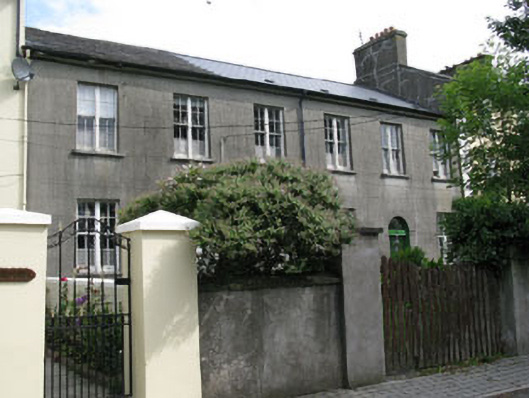 Watergate National Schoolschool · 252 yd
 Bandon War MemorialMemorial · 428 yd
 CrossCross, Market cross · 678 yd
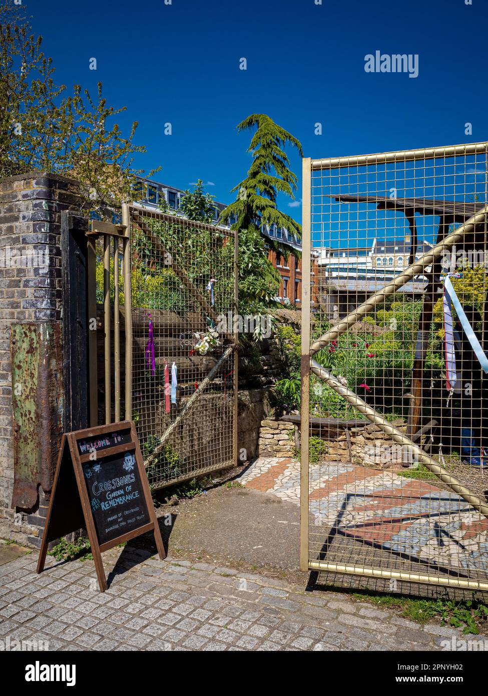 Burial Ground (Disused)Burial ground · 963 yd
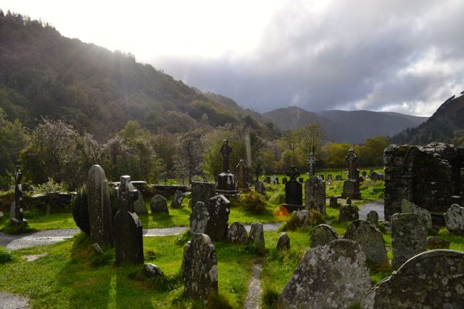 Graveyard in GullyGraveyard · 1037 yd
 Carbury's WellSpring · 1720 yd
 Roche's WoodWood · 1.7 mi
 Cottage Road WoodWood · 2.1 mi
 Marie LouiseWreck · 4.1 mi
 Carrighnassig Castle (Site of)Castle, unclassified · 4.1 mi
 Shippool CastleCastle · 4.4 mi