What is recorded here
In low-lying gently undulating, rough pasture, cut by land drains and watercourses, 225m E of a townland boundary with Ballyhurst. Not depicted on OSi historic maps. Ring-barrows (LI024-266/-053001-) are 50m and 80m to SW, respectively. Monument surveyed by the ASI in 2008 and described as a single upright stone (H 1.15m) of limestone which is orientated with its long-axis N-S. The stone is trapezoidal in plan (max. L 0.45m; max. Wth 0.38m) and tilts toward E. The W-face steps inwards, just below a pointed apex. The surfaces of the elevations are smooth in places due to cattle scratching. Monument is visible on OSi orthophoto taken 2005-2012, on Digital Globe orthoimage taken 2011-2013 and on Google Earth orthoimage taken 28/06/2018.
See attached Google Earth orthoimage taken 28/06/2018.
Compiled by: Alison McQueen and Vera Rahilly
Date of upload: 14 October 2020
Probably dating to the Neolithic or Bronze Age, this standing stone may have had ceremonial or funerary significance, given its proximity to ring-barrows. Local folklore or specific use is not recorded.
The monument record does not grant public access. Check the route and ask the landowner before entering private land.
- What survives
- Recorded monument
Places near here
 Mound in KnockballyfookeenMound · 458 yd
 RathbaunArchaeological place · 459 yd
 Cross Tuck MillsWater mill, unclassified · 735 yd
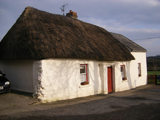 Highstreethouse · 958 yd
 ToberagaddySpring · 1471 yd
 Kilduff CastleCastle · 1662 yd
 Kilduff Castle (in ruins)Castle, tower house · 1664 yd
 KnockseefinMountain / peak · 2.0 mi
 Oola HillMountain / peak · 3.3 mi
 St. Patrick's WellSpring · 3.9 mi
 Flat cemetery in Knockainy WestFlat cemetery · 8.0 mi
 BarrowBarrow, ring-barrow · 691 yd