What is recorded here
Knockauncarragh holds a pink granite slab aligned NE-SW on the southern ridge of the Slieve Aughty mountains. The stone stands fifteen centimetres taller than a person’s waist, its white quartz flecks catching light while the ridge wind strips the air clean. Someone set it where the mountain ends and the valley begins, marking a boundary or remembering a life now lost. It still points across the landscape, waiting for someone to read what that direction means.
On the S end of a ridge in the Slieve Aughty mountains. Indicated and named 'Stone' in Roman script on the 1838 edition of the OS 6-inch map, this standing stone consists of an irregular conglomerate slab of pink granite and white quartz (H 1.55m; Wth 1.1m; T 0.5m) aligned NE-SW.
Compiled by: Galway Archaeological Survey, UCG
Date of upload: 18 December 2019
Likely dating to the Bronze Age, this standing stone may have had ritual or territorial significance. Its placement on a prominent ridge suggests a possible role in landscape marking or ceremonial activity.
The monument record does not grant public access. Check the route and ask the landowner before entering private land.
- What survives
- Recorded monument
Places near here
 St. Pauls Ch.Church · 1112 yd
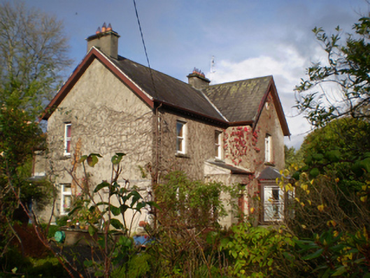 The Bayhouse · 1124 yd
 Holy WellHoly well · 1.1 mi
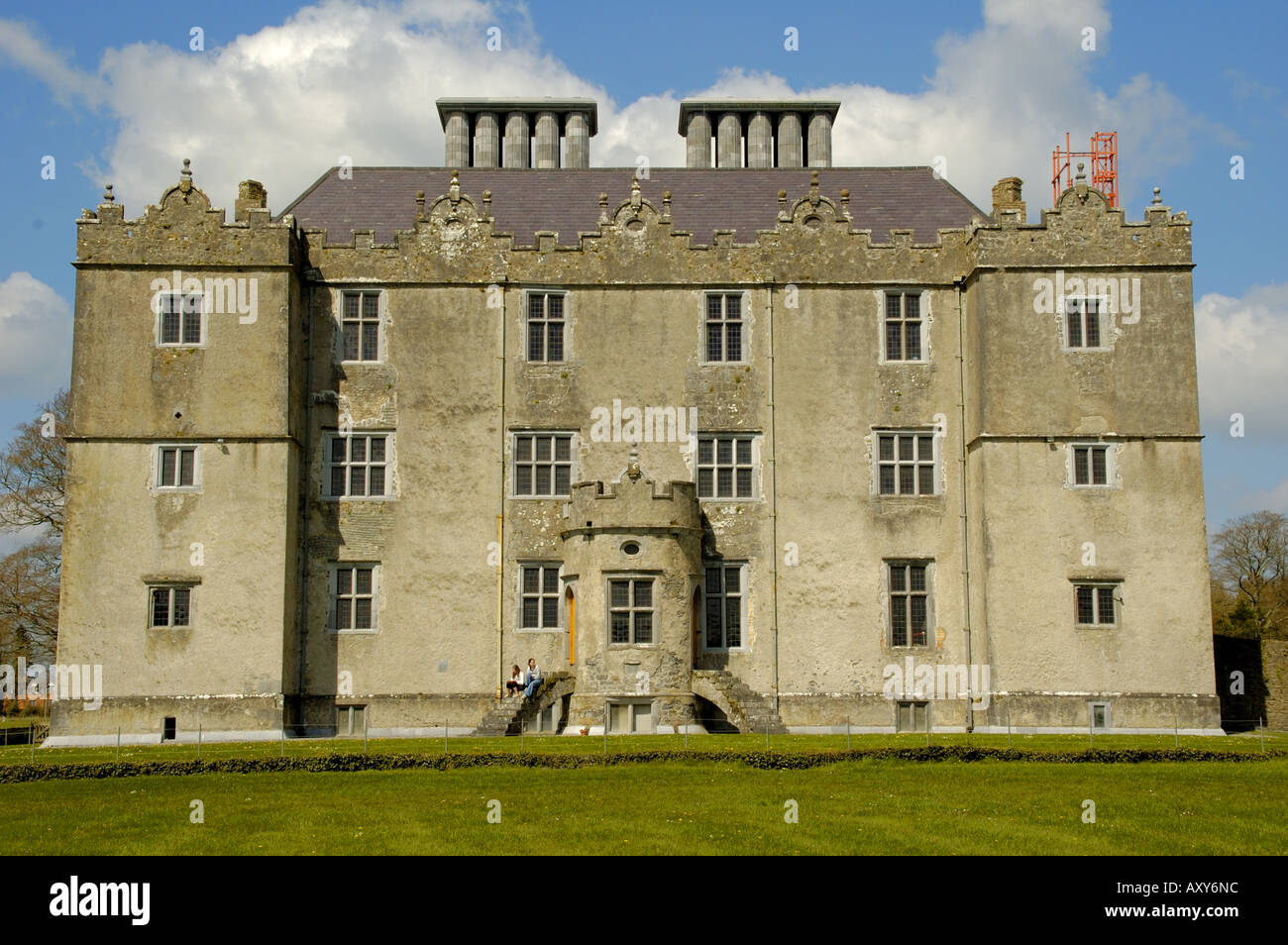 Enclosure in Cappaghcon EastEnclosure · 1.8 mi
 TullymoreMountain / peak · 3.0 mi
 Coolfin Castle (in ruins)Castle, tower house · 3.5 mi
 Red IslandIslet · 4.4 mi
 Gorteeny IslandIslet · 4.5 mi
 Coose BayBay · 4.9 mi
 Castle in ruinsCastle, unclassified · 4.9 mi
 Cregg PointHeadland · 5.2 mi
 Oak WoodForest · 5.3 mi