What is recorded here
On a steep W facing slope of an elevated ridge with good views from W to N. A triangular shaped stone (H 1.8m; Wth at base 0.86m; Wth at top 0.15m; T at base 0.56m; T at top 0.2m) with the long axis oriented N-S. The upper portion of the stone at the S end has broken away and the W face and N end are heavily pocked.
Compiled by: Claire Breen and Chris Corlett
Date of upload: 25 April 2013
Likely dating to the Neolithic or Early Bronze Age, this standing stone may have functioned as a territorial marker, ceremonial monument, or astronomical alignment feature. No specific folklore or inscriptions are recorded, though its elevated position suggests it may have had ritual or symbolic significance in the landscape.
The monument record does not grant public access. Check the route and ask the landowner before entering private land.
- What survives
- Recorded monument
Places near here
 Enclosure in CherrymountEnclosure · 428 yd
 Enclosure in Knockanree LowerEnclosure · 534 yd
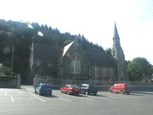 Catholic Church of Saint Mary and Saint Patrickchurch/chapel · 899 yd
 TobernaclaChurch · 953 yd
 Site of CastleCastle, unclassified · 1.2 mi
 Meeting of the WatersHeritage attraction · 1.7 mi
 Sweet ChestnutSweet Chestnut · 2.1 mi
 Scots PineScots Pine · 2.3 mi
 Woodenbridge World War One MemorialMemorial · 2.6 mi
 Viewing TowerHeritage attraction · 3.2 mi
 Wicklow 400Memorial · 4.5 mi
 Battle of Arklowbattle · 5.3 mi