What is recorded here
Situated on the N-facing slope of a small valley. This is a conglomerate stone with a diamond-shaped cross-section (dims. 1.3m x 0.7m; H 1.35m) oriented N-S.
The above description is derived from the published 'Archaeological Inventory of County Waterford' (Dublin: Stationery Office, 1999). In certain instances the entries have been revised and updated in the light of recent research.
Date of upload/revision: 23 December 2008
Likely dating to the Late Neolithic or Early Bronze Age, this standing stone may have had ceremonial or territorial significance. Its orientation and shape suggest possible ritual use, though specific folklore or symbolic meaning is not recorded.
The monument record does not grant public access. Check the route and ask the landowner before entering private land.
- What survives
- Recorded monument
Places near here
 Fulacht fia in Carrigeen (upperthird By.)Fulacht fia · 588 yd
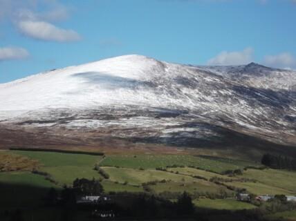 Hut site in KnockanaffrinHut site · 611 yd
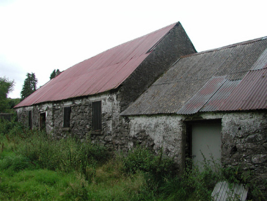 Nell's Cottagefarm house · 1204 yd
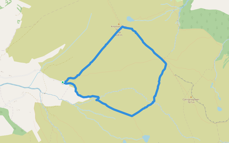 Coumduala LoopWalking route · 1421 yd
 The Gap WalkWalking route · 1431 yd
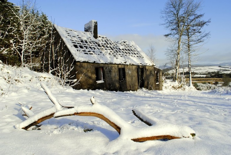 Knockanaffrin South TopMountain / peak · 1.1 mi
 CillChurch · 1.2 mi
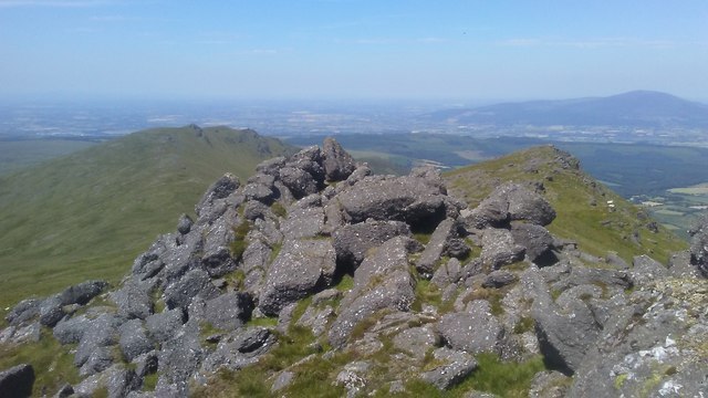 KnockanaffrinMountain / peak · 1.4 mi
 Knocknaree WoodForest · 2.2 mi
 Curraheen TrailsVisitor information · 2.2 mi
 Turraphuca WoodForest · 2.9 mi
 Mahon ValleyCliff · 3.1 mi