What is recorded here
Kilquane stands in County Kerry, a lone stone marker preserving the shape of an old boundary or ritual. Whether it guided herds, marked a burial or watched a road, the stone still performs that duty without explanation. Its survival suggests people valued the spot enough to leave a visible witness behind.
The Archaeological Survey of Ireland (ASI) is in the process of providing information on all monuments on The Historic Environment Viewer (HEV). Currently the information for this record has not been uploaded. To access available information for research purposes please make an appointment in advance with the Archive Unit (open Fridays 10.00 am – 5.00 pm), Department of Housing, Local Government and Heritage, The Custom House, Dublin 1 D01W6XO or email NMarchive@housing.gov.ie.
The monument record does not grant public access. Check the route and ask the landowner before entering private land.
- What survives
- Recorded monument
Places near here
 Kilmurry Church (in ruins)Church · 510 yd
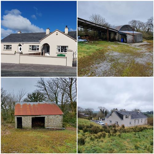 Enclosure in Cordal WestEnclosure · 658 yd
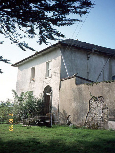 Kilmurry Househouse · 744 yd
 Castle (in ruins)Castle, unclassified · 964 yd
 Kilmurry CastleCastle · 966 yd
 Parknaskagh FortArchaeological place · 1187 yd
 SlievebrickanMountain / peak · 2.6 mi
 KnockateeMountain / peak · 2.7 mi
 Crag CaveCave · 2.7 mi
 PouldermotCave · 9.8 mi
 Nohaval WoodWood · 12 mi
 Monsignor Hugh O'Flaherty MemorialMemorial · 13 mi