What is recorded here
Kilnavert stands on the northwest slope of a low drumlin ridge in County Cavan, an irregular two-metre boulder aligned east to west. It escaped the first Ordnance Survey maps, hiding in plain sight among ordinary fields. People may have set it there to mark a boundary, honour a dead person or simply watch the sun travel across the sky.
Not marked on OS 1836 or 1876 eds. Sited on the NW slope of a low drumlin ridge. Large irregular boulder (H 2.1m; dims. 0.97m x 0.78m) aligned E-W.
The above description is derived from the published 'Archaeological Inventory of County Cavan' (Dublin: Stationery Office, 1995). In certain instances the entries have been revised and updated in the light of recent research.
Date of upload/revision: 22 December 2008
Dated to the Late Neolithic or Early Bronze Age, this standing stone may have had ceremonial or territorial significance. No specific folklore or inscriptions are recorded, but its alignment and positioning suggest possible ritual or astronomical use.
The monument record does not grant public access. Check the route and ask the landowner before entering private land.
- What survives
- Recorded monument
Places near here
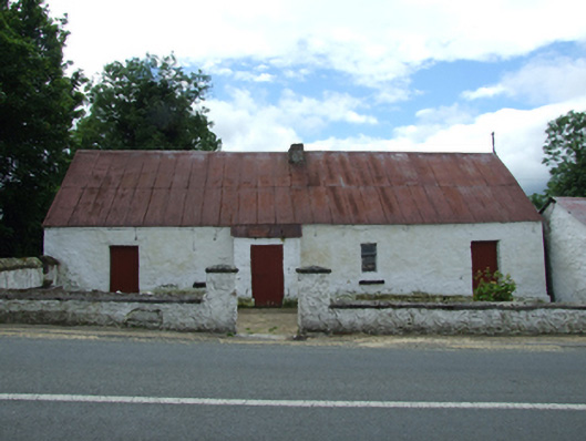 farm housefarm house · 121 yd
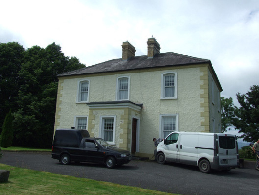 The Presbyterypresbytery/parochial/curate's house · 130 yd
 Tober PatrickHoly well · 411 yd
 Killycluggin StoneVisitor information · 935 yd
 LissanoverCastle, unclassified · 1414 yd
 IndicatedHilltop enclosure · 1520 yd
 Giants GraveArchaeological place · 1.2 mi
 Saint Mogue's IslandIslet · 1.2 mi
 Killarah ForestForest · 1.4 mi
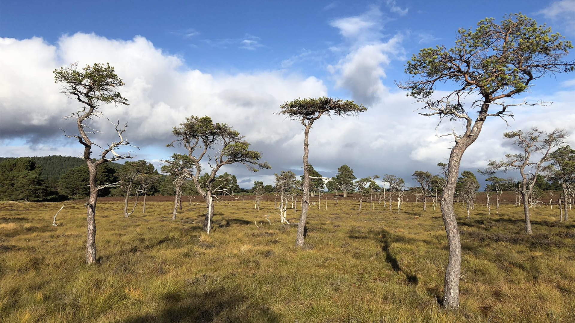 Derrycassan Bog WoodlandWood · 1.4 mi
 Bellaheady MountainMountain / peak · 1.5 mi
 DerrynigginMountain / peak · 2.5 mi