What is recorded here
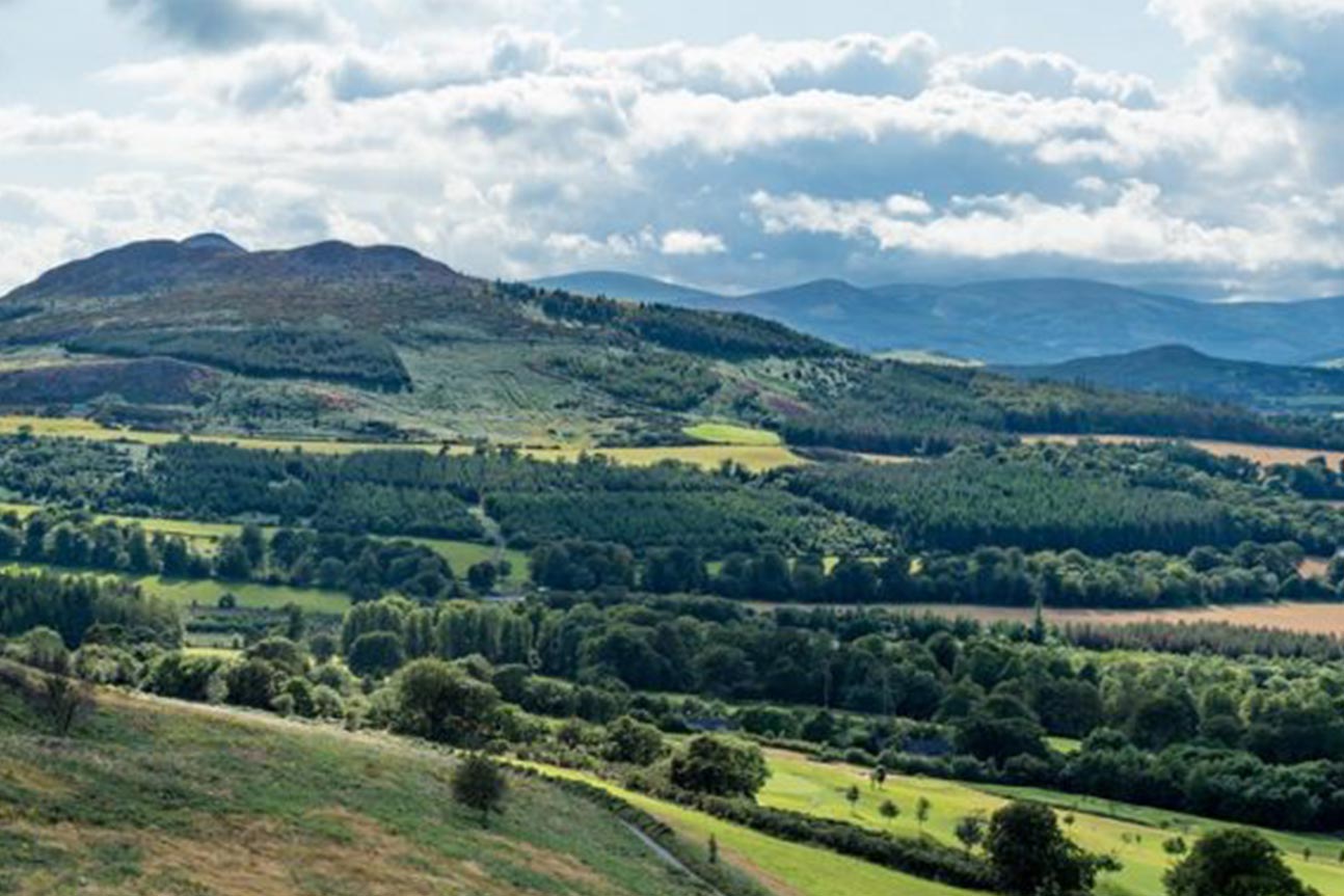
On flat ground, with views of the Sugar Loaf mountain to the W and the Little Sugar Loaf to the E. A rectangular shale stone (H 1.56m; Wth 0.58m; max. T 0.33m), with an irregular shaped stone (c. 0.56m x 0.34m) sitting on the ground to the NW, which appears to have broken off the base of the NE face of the stone. The SW face of the stone is much smoother than the NE face.
Compiled by: Claire Breen
Date of upload: 21 February 2013
Likely dating to the Neolithic or Bronze Age, this standing stone may have had ceremonial or territorial significance, possibly aligned with landscape features such as the Sugar Loaf mountains. No inscriptions or carvings are noted, and local folklore or specific use remains unrecorded.
The monument record does not grant public access. Check the route and ask the landowner before entering private land.
- What survives
- Recorded monument
Places near here
 Johnny Fox's MemorialMemorial · 684 yd
 Grave YardGraveyard · 747 yd
 IndicatedChurch · 758 yd
 Saint Mochonog's Catholic Churchchurch/chapel · 788 yd
 The Sugar Loaf WayWalking route · 1091 yd
 Great Sugar LoafMountain · 1288 yd
 Ecclesiastical enclosure in Kilmurry North (rathdown By.)Ecclesiastical enclosure · 1321 yd
 European YewEuropean Yew · 1376 yd
 Great SugarloafMountain / peak · 1386 yd
 Monterey CypressMonterey Cypress · 1391 yd
 Belmont WayWalking route · 1583 yd
 Little Sugar LoafMountain / peak · 1619 yd