
What is recorded here
An oval enclosure (dims. c. 30m NW-SE; c. 20m NE-SW) surrounds the church (WI008-013----) and graveyard site (WI008-013002-) at Kilmurry. It is defined on SE-W-N by an earthen bank (Wth 2.5-3.4m; int. H 0.5m; ext. H 1-1.3m) and by an internal fosse for a short stretch at N (Wth 2m; D 0.6m), truncated by a modern boundary wall at the NE beyond which is a steep slope. A gap at SSE (Wth 3.5m) is approached by a rough ramp and may be the original entrance.
The above description is derived from the published 'Archaeological Inventory of County Wicklow' (Dublin: Stationery Office, 1997). In certain instances the entries have been revised and updated in the light of recent research.
Date of upload: 5 February 2013
Revised by: Claire Breen
The monument record does not grant public access. Check the route and ask the landowner before entering private land.
- What survives
- Recorded monument
Places near here
 Church in Kilmurry South (rathdown By.)Church · 1380 yd
 The Sugar Loaf WayWalking route · 1632 yd
 Great Sugar LoafMountain · 1730 yd
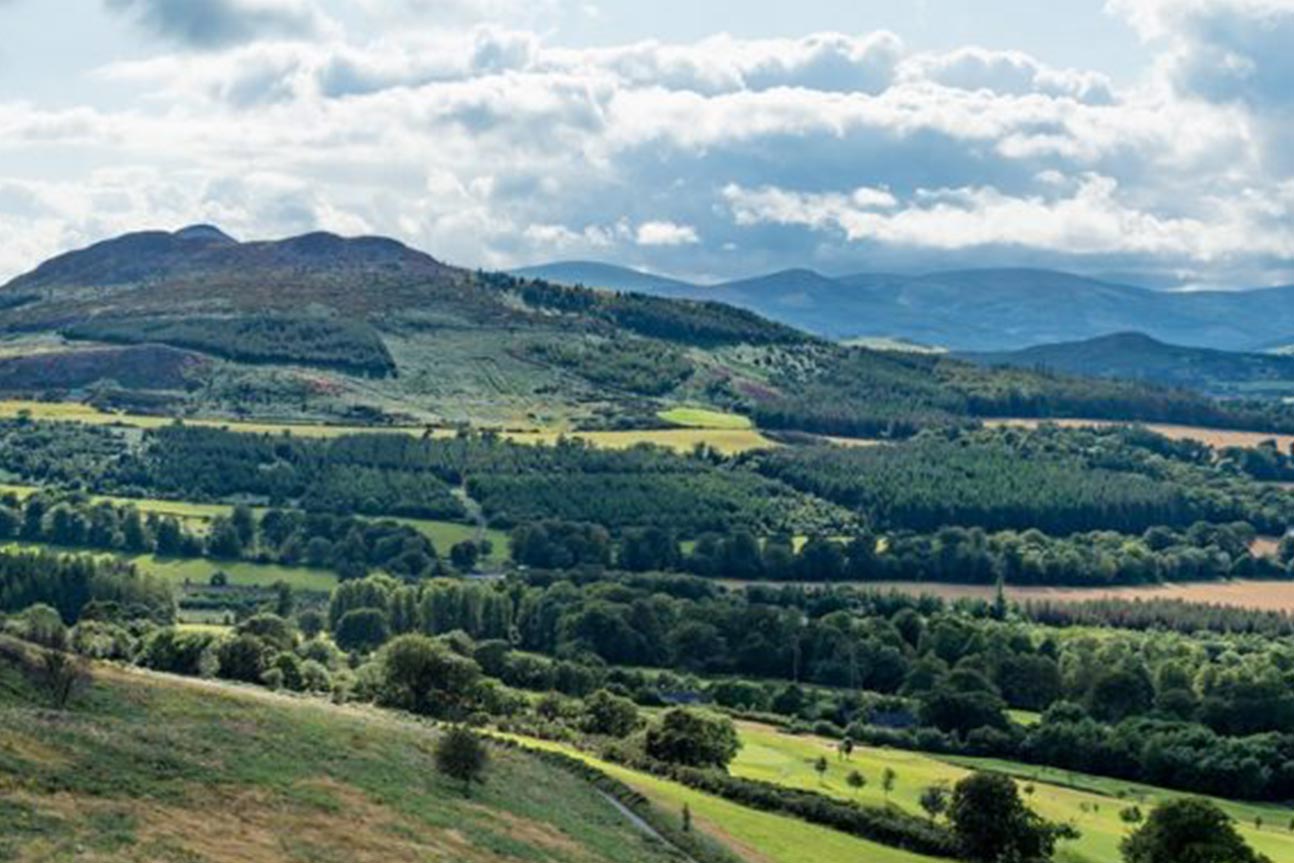 Belmont WayWalking route · 1741 yd
 Great SugarloafMountain / peak · 1757 yd
 Little Sugar LoafMountain / peak · 1760 yd
 Johnny Fox's MemorialMemorial · 1.0 mi
 Kindlestown WoodForest · 1.0 mi
 The OctagonRuins · 1.1 mi
 Grave YardGraveyard · 1.1 mi
 Glen of the DownsNature reserve · 1.2 mi
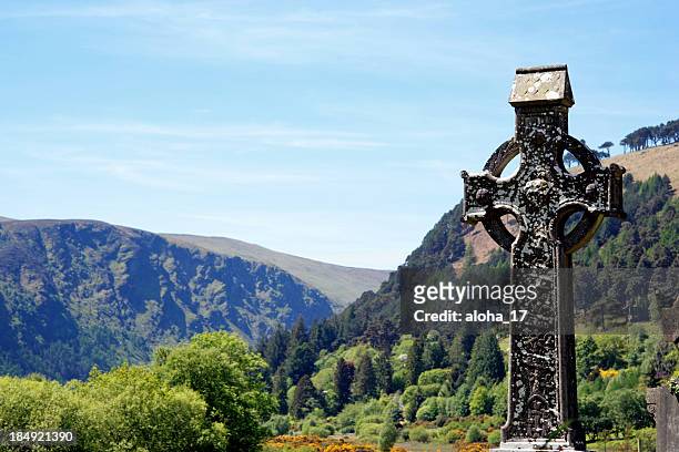 CrossCross, High cross · 1.4 mi
Other information
Photo: Credit not shown in the picture search · Rights wording not checked; contact us if this picture should be removed