What is recorded here
In pasture, located in the NE quadrant of a modern rectilinear field. Ground falls gradually to S, towards the N shoreline of Drumcliff Bay. There is a portal tomb (MA007-026----) 200m to NE.
This standing stone is not indicated on any edition of the OS 6-inch maps. A squat, flat-topped six-sided granite boulder (1.05m E−W; 0.85m N−S; H 1.4m) set upright in the ground. There is no evidence that the stone is shaped or worked; the hexagonal shape is natural, and the angular sides vary in width (Wth 0.45-0.65m). The top is relatively flat but with an uneven surface. The date and function of the stone is uncertain. It is known locally as the ‘Fairy stone’ (SMR file). The stone is used as a scratching post by farm stock and as a result some of the angles are rubbed smooth. A number of small and medium-sized field stones are piled on top of the stone.
Attached image: SL007-037----_01 viewed from NE.
Compiled by: Jane O'Shaughnessy
Date of upload: 12 August 2021
The monument record does not grant public access. Check the route and ask the landowner before entering private land.
- What survives
- Recorded monument
Places near here
 Druid's AltarArchaeological place · 218 yd
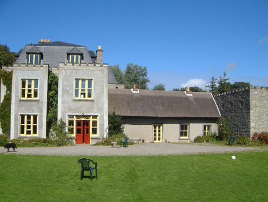 Ardtarmon Housecountry house · 229 yd
 Enclosure in CloghcorEnclosure · 504 yd
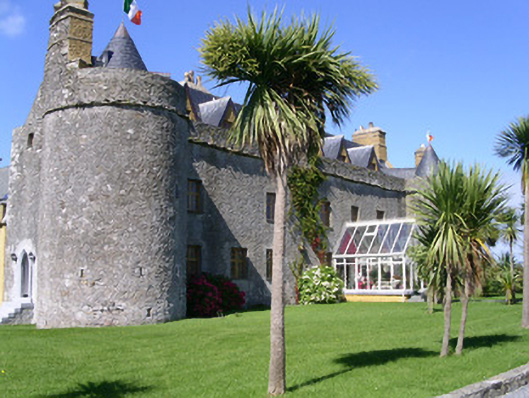 Ardtarmon Castlecastle/fortified house · 1017 yd
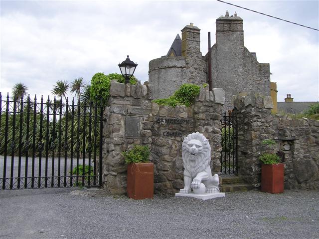 Bawn in ArdtermonBawn · 1029 yd
 Ardtermon StrandBeach / strand · 1285 yd
 Yellow StrandBeach / strand · 1.5 mi
 Bawn in DoonforeBawn · 1.6 mi
 Coastguard StationRuins · 1.6 mi
 Church Hill WoodWood · 1.9 mi
 Forester's WoodForest · 2.0 mi
 Drumcliff BayBay · 2.1 mi