What is recorded here
Situated on a low NW-SE ridge in a low-lying position between drumlins. This is an upright pillar with a subrectangular cross-section (dims 0.45-0.8m; 0.75-0.85m; H 1.05m) roughly aligned NW-SE and narrowing to a crest at the top.
The above description is derived from the published 'Archaeological Inventory of County Monaghan' (Dublin: Stationery Office, 1986). In certain instances the entries have been revised and updated in the light of recent research.
Revised by: Michael Moore
Date of revision: 29 January 2018
Likely dating to the Neolithic or Early Bronze Age, this standing stone may have had ceremonial or territorial significance. Its alignment and position suggest a possible astronomical or ritual function, though specific folklore or use remains unrecorded.
The monument record does not grant public access. Check the route and ask the landowner before entering private land.
- What survives
- Recorded monument
Places near here
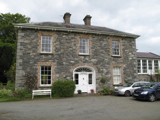 Killygorman Househouse · 150 yd
 Giants GraveCourt tomb · 278 yd
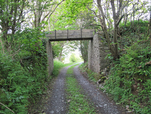 aqueductaqueduct · 393 yd
 8Archaeological place · 404 yd
 Roosky Castle (Site of)Castle, ringwork · 1273 yd
 Lisarrilly HillMountain / peak · 1.2 mi
 KillycoonaghWood · 1.6 mi
 Common LimeCommon Lime · 1.6 mi
 Jaundice WellSpring · 1.7 mi
 Saint John's WellSpring · 1.8 mi
 Tomb HillMountain / peak · 3.6 mi
 Abbey RuinsHeritage attraction · 3.7 mi