What is recorded here
On a prominent NE-SW ridge in pasture. A flat vertical limestone slab (H 1.46m; Wth 0.32-0.37; D 0.1-0.13m) aligned E-W and tapering gently towards the top. There are no visible markings and the two wide faces are quite flat. The angles are polished as it is used as a scratching post and is poached around the base. 6m to the S, beyond a fence, the ridge is cut away to make way for a building. A second standing stone lies c. 265m to the NE.
Compiled by: Mary Tunney
Date of upload: 22 September 2025
The monument record does not grant public access. Check the route and ask the landowner before entering private land.
- What survives
- Recorded monument
Places near here
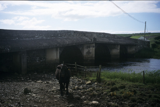 New Bridgebridge · 343 yd
 Enclosure in CaheraderryEnclosure · 767 yd
 IndicatedFairy fort / earthen ringfort · 772 yd
 Church in KillaspuglonaneChurch · 1315 yd
 Kilmanahn GraveyardRuins · 1594 yd
 Dough CastleRuins · 1.1 mi
 Site of Tullamore CastleCastle, unclassified · 1.2 mi
 Famine MemorialMemorial · 1.3 mi
 Lahinch BeachBeach / strand · 1.8 mi
 John P. Holland CentreMuseum · 3.1 mi
 TullygarvanWood · 3.2 mi
 Bridget's Well;St Bridget's WellSpring · 4.0 mi