What is recorded here
Situated in a forest clearing W of the site of a large enclosure (DU025-021002-) planted with trees. It was described as an irregularly shaped granite boulder (H. 3m) which terminates in a point at the top (Healy 1975, 1-19) but is now prostrate across a modern trackway to the crest of the hill.
Compiled by: Geraldine Stout and Padraig Clancy
Revised upload on: 8 July 2018
Likely dating to the Late Neolithic or Bronze Age, the standing stone may have had ritual or territorial significance. Its pointed top suggests possible use in a ceremonial context or as a marker within a broader landscape of monuments.
The monument record does not grant public access. Check the route and ask the landowner before entering private land.
- What survives
- Recorded monument
Places near here
 Enclosure in KillakeeEnclosure · 20 yd
 Standing StoneArchaeological place · 32 yd
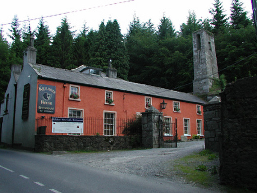 Killakee Househouse · 272 yd
 Hell Fire Clubhunting/fishing lodge · 425 yd
 Montpelier HillMountain / peak · 445 yd
 Dublin Mountains Way Hellfire & Massey SpurWalking route · 588 yd
 Dublin Mountains Way - Hellfire & Massey spurWalking route · 694 yd
 Hellfire WoodForest · 753 yd
 Massey WoodWood · 958 yd
 Carty's CastleRuins · 1340 yd
 Slieve GorraMountain / peak · 1452 yd
 Stocking Wood NewsVisitor information · 1.4 mi