What is recorded here
Located in a burial ground (MA044-009001-). The burial ground survives as a low mound (14.5m ENE-WSW; 10.2m NNW-SSE). The standing stone is located at the SW edge of the mound. It is a National Monument in State ownership (No. 423). It consists of an upright, subrectangular-shaped stone (H 1.46m; Wth 0.9m; T 0.23m), tapering to a point at top, and aligned NNE-SSW. It tilts slightly to WNW. Moran (1942, 149) recorded that the W face is divided into a number of 'diamond shaped figures by intersecting lines'. These 'lines' are natural faults in the stone. There is a cross-inscribed pillar (MA044-009002-) located a few meters to NE, at the centre of the burial ground.
Compiled by: Jane O'Shaughnessy
Date of upload: 18 June 2018
Probably dating to the Early Christian or medieval period, this standing stone may have marked a burial site or had a commemorative function, possibly linked to local pagan or Christian traditions. Its placement at the edge of a burial mound suggests a ceremonial or funerary role.
The monument record does not grant public access. Check the route and ask the landowner before entering private land.
- What survives
- Recorded monument
Places near here
 Site of CastleCastle, unclassified · 1059 yd
 Annagh IslandMountain / peak · 1608 yd
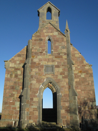 Holy Trinity Church (Ballycroy)church/chapel · 1708 yd
 Druids CircleFairy fort / earthen ringfort · 1.2 mi
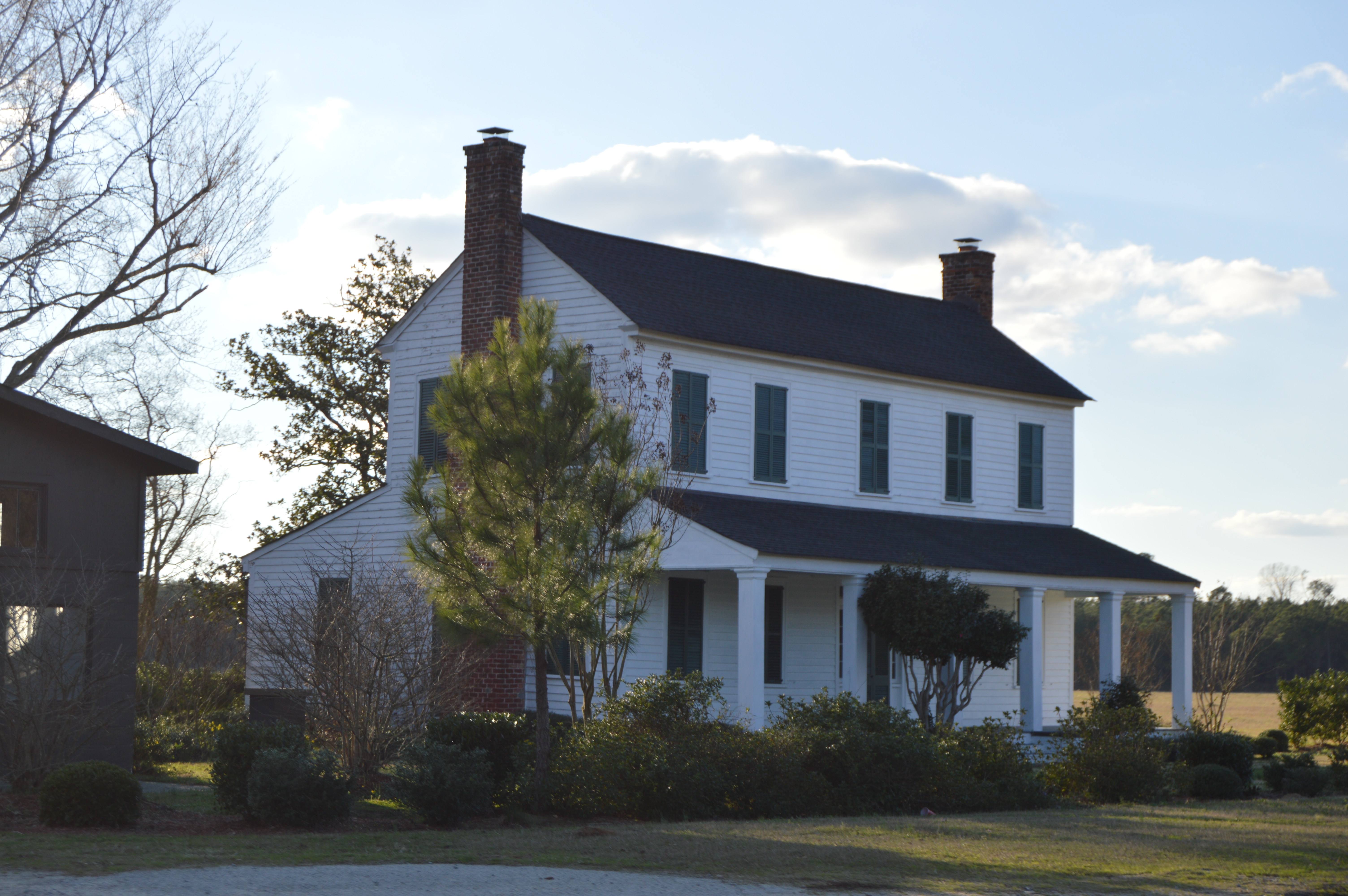
 Claggan O'Donnell PlantationForest · 1.2 mi
 Rock Househunting/fishing lodge · 1.3 mi
 Tober FintanyHoly well · 1.4 mi
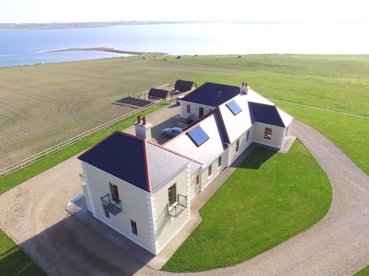
 Rock House PlantationForest · 1.4 mi
 Oileán FraoighIslet · 2.0 mi
 Illannamona IslandsIslet · 2.0 mi
 Gob na Carraige MóireHeadland · 2.1 mi
 Gob an LoingsighHeadland · 2.3 mi