What is recorded here
The OS Letters describe how 'as one crosses the country from this old Church [Ballylegan Church TS076-036----] to Kedrah Fort [TS075-039----] in the Parish of Mortelstown, he meets on his way a standing stone in a green field, which is two feet four inches [0.7m] in breadth, one foot four inches [0.4m] in thickness and four feet six inches [1.37m] in height from the surface of the ground' (O'Flanagan 1930, vol. 2, 136). The precise location of this standing stone is unknown within the townland of Kedrah or Suttonrath.
Compiled by: Jean Farrelly
Date of upload: 26 August 2011
The monument record does not grant public access. Check the route and ask the landowner before entering private land.
- What survives
- Recorded monument
Places near here
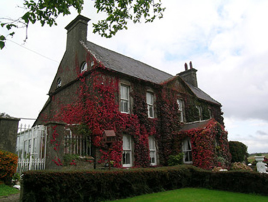 Keylong Househouse · 311 yd
 Kedrah FortArchaeological place · 826 yd
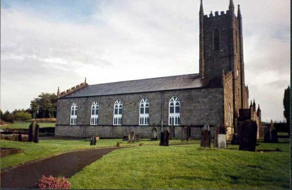 Ballylegan Church (in ruins)Church · 1228 yd
 Bawn in KedrahBawn · 1335 yd
 Short Castle (in ruins)Castle, tower house · 1525 yd
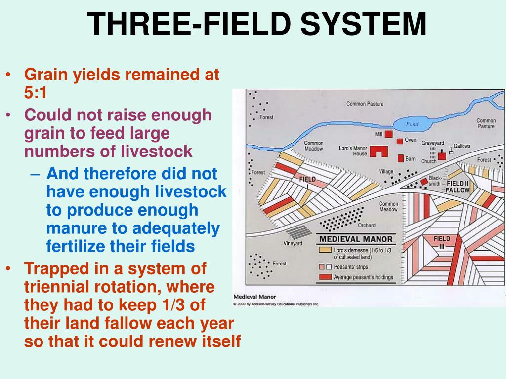 Field system in Caherabbey LowerField system · 1.5 mi
 Caher AbbeyHeritage attraction · 1.8 mi
 Siege of Cahir Castlesiege · 2.0 miCahir CastleHeritage attraction · 2.0 mi
 European YewEuropean Yew · 2.9 mi
 Cottagehill WoodForest · 2.9 mi
 Slieveanard NE TopMountain / peak · 4.3 mi