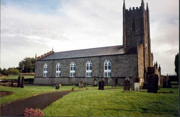
What is recorded here
On rock outcrop in undulating terrain. Very steep drop immediately W and N of church walls as a result of large scale quarrying. The quarry is marked on 1st (1840) and 2nd (1901-05) ed. OS 6-inch map and according to landowner continued in use up to the 1920s-30s. The church is located immediately N of the graveyard (TS076-036001-). The 'Church of Ballynlegane' is mentioned in the Civil Survey (1654-6) (Simington 1931, vol.1, 350). Only part of the W gable survives, upstanding (H c. 2.5m; T 1.2m) for a length of 3m. It is built of rubble and appears to be roughly coursed, obscured by heavy ivy growth. The outline of the remainder of the church is visible as a low wall, grass-covered for the most part. The N side has mostly collapsed into the quarry with only the foundation surviving. It consists of a nave (int. dims. 5.7m N-S; 11.5m E-S) and chancel (dims. 4.5m x 4.14m (O'Flanagan 1930, vol.2, 135). The S side is difficult to discern due to heavy overgrowth and dumping on top. According to the OS Letters the church originally measured 'thirty seven feet [11.3m] in length by seventeen feet [5.2m] in breadth, as ascertained by means of the parts of the walls now remaining and the foundations of the parts of the building demolished. The remains consist of a portion of the west gable, not retaining its original height; half the breadth of the gable at south sidewall is much battered; twenty two feet [6.7m] in length of the north sidewall attached to the gable, near which it is injured inside and does not retain the original height; the highest part of the wall, twenty two feet in length, is no more than eight feet [2.4m]; the thickness of the wall is two feet seven inches [0.8m] and only eleven feet [3.3m] in length of the south sidewall near where the east gable stood; this is the same height with the above wall, eight feet, and is three feet [0.9m] thick. There was an apartment attached to the east end which measured fifteen feet [4.5m] in length by thirteen feet seven inches [4.14m] in breadth. The foundation of the walls are still traceable; the materials were the same as used in the rest of the building. This was probably the choir [chancel] and the above apartment the nave of the Church. There is a lime stone quarry at north west corner of the ruin' (O'Flanagan 1930, vol.2, 136). Machinery has been dumped on the S side of the chancel and the SW of the nave. Foundation of the S wall [L 1.7m; T 0.73m] of the chancel is visible under machinery. The area of the church is badly overgrown with long grass and brambles, with a lot of loose stone and small stone piles lying around the S wall.
Compiled by: Jean Farrelly
Date of upload: 26 August 2011
The monument record does not grant public access. Check the route and ask the landowner before entering private land.
- What survives
- Recorded monument
Places near here
 Bawn in CastlecoyneBawn · 1460 yd
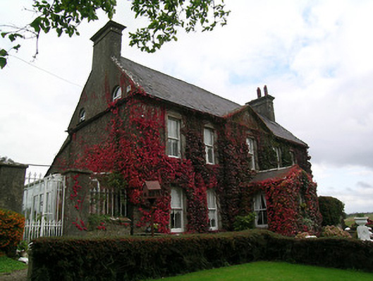 Keylong Househouse · 1513 yd
 Enclosure in Knockagh (caher Par.)Enclosure · 1525 yd
 Short Castle (in ruins)Castle, tower house · 1596 yd
 Enclosure in EdenmoreEnclosure · 1.0 mi
 Mortlestown Church (in ruins)Church · 1.1 mi
 Caher AbbeyHeritage attraction · 2.2 mi
 Cahir CastleHeritage attraction · 2.3 miSiege of Cahir Castlesiege · 2.3 mi
 European YewEuropean Yew · 2.9 mi
 Cottagehill WoodForest · 3.0 mi
 Woodcock HillMountain / peak · 4.3 mi
Other information
Photo: Credit not shown in the picture search · Rights wording not checked; contact us if this picture should be removed