
What is recorded here
Off crest of hill, on SW-facing slope. A ringfort (TS076-037001-) is immediately upslope to the N. Enclosure identified on aerial photograph (S.782/314). It is defined by a low bank in the NE quadrant (Wth 7m; H above int. 0.29m; H above ext. 0.12m) and scarp in the SE and SW quadrants (Wth c. 7m).
Compiled by: Jean Farrelly
Date of revised upload: 24 September 2014
A local fairy fort (ringfort/rath); wider significance not recorded.
The monument record does not grant public access. Check the route and ask the landowner before entering private land.
- What survives
- Recorded monument
Places near here
 Enclosure in Rathmore (caher Par.)Enclosure · 992 yd
 RathmoreFairy fort / earthen ringfort · 1306 yd
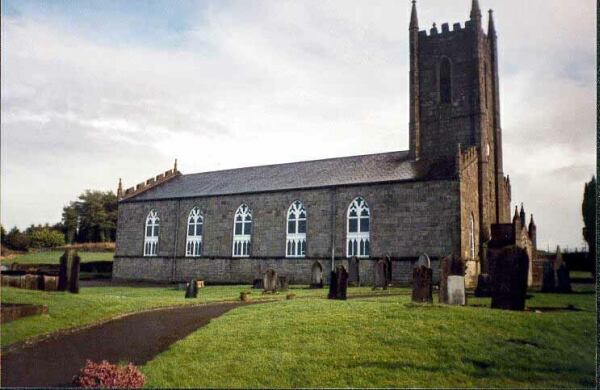 Ballylegan Church (in ruins)Church · 1525 yd
 Bawn in CastlecoyneBawn · 1.1 mi
 Moorstown CastleCastle, tower house · 1.1 mi
 Kill Church (in ruins)Church · 1.1 mi
 Caher AbbeyHeritage attraction · 3.0 mi
 Cahir CastleHeritage attraction · 3.1 miSiege of Cahir Castlesiege · 3.1 mi
 European YewEuropean Yew · 3.4 mi
 Cottagehill WoodForest · 3.5 mi
 Woodcock HillMountain / peak · 4.4 mi
Other information
Photo: Credit not shown in the picture search · Rights wording not checked; contact us if this picture should be removed