What is recorded here
Kealanine holds a flat-topped stone, rectangular and facing north-south on a rush-covered bog slope beside the Coomhola River. It stands twelve hundred millimetres tall, stubbornly visible through grass and damp. People may have set it there to mark a boundary, a dead person or a route through difficult ground. The stone no longer explains itself, but it still occupies the valley and refuses to be forgotten.
On rough rush-covered grazing, on bog on a S-facing slope on the W side of the valley of the Coomhola River. This flat-topped standing stone (1.37m x 0.25m; H 1.2m) is rectangular in plan and section and is orientated N-S.
The above description is derived from 'The Archaeological Inventory of County Cork. Volume 5' (Dublin: Stationery Office, 2009).
Date of upload: 22 December 2009
The monument record does not grant public access. Check the route and ask the landowner before entering private land.
- What survives
- Recorded monument
Places near here
 Boulder-burial in Mill LittleBoulder-burial · 711 yd
 Coomhola Salmon Trust (Streamscapes)Museum · 1308 yd
 Mass-rock in DerrynakillaMass-rock · 1513 yd
 An Cab DubhMountain / peak · 1.1 mi
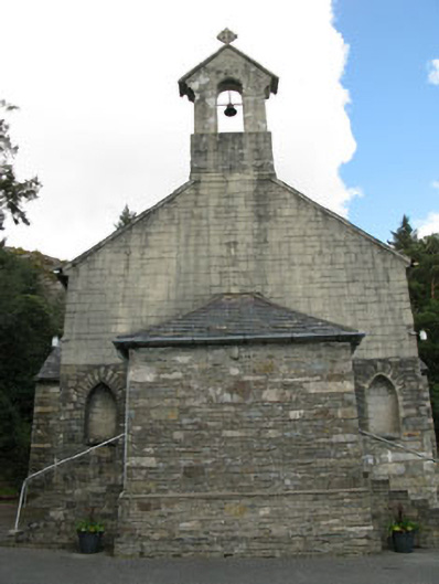 St. Joseph's Roman Catholic Churchchurch/chapel · 1.1 mi
 Daly's LoopWalking route · 1.2 mi
 Rose Cottagehouse · 1.3 mi
 Snave StrandBeach / strand · 1.6 mi
 Chilean myrtleChilean myrtle · 1.9 mi
 Snave BayBay · 1.9 mi
 Coomhola MountainMountain / peak · 2.0 mi
 Ardnatrush ViewViewpoint · 2.0 mi