What is recorded here
On a rocky, W-facing slope overlooking a small stream, adjacent to an area of forestry, with fine views of Kilranelagh hill to the W, and 'Crossoona Rath' in Boleycarrigeen (WI027-038----) clearly visible. The nearby forestry obstructs views of Brusselstown and Spinans Hill to the NW. A fine-grained, granite stone (dims. H 0.9m; Wth 0.80m; T 0.23m). The S side of the stone is perfectly flat.
Compiled by: Gearóid Conroy
Date of upload: 23 October 2012
Probably dates to the Late Neolithic or Bronze Age, given its location and form typical of ritual or territorial markers in the landscape. It may have had ceremonial significance, possibly linked to the nearby 'Crossoona Rath' or used as a waymarker along ancient pathways.
The monument record does not grant public access. Check the route and ask the landowner before entering private land.
- What survives
- Recorded monument
Places near here
 IndicatedFairy fort / earthen ringfort · 575 yd
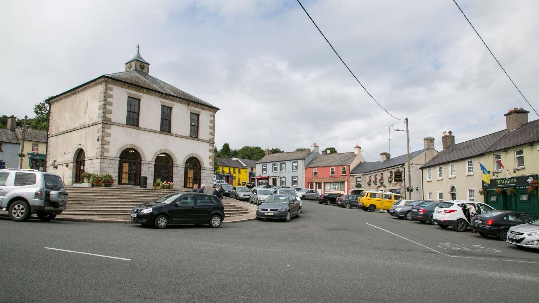 Enclosure in KelshabegEnclosure · 1101 yd
 Keadeen MountainMountain / peak · 1483 yd
 Castle in ruinsCastle, unclassified · 1.2 mi
 Saint Brigit's ChairNamed rock · 1.5 mi
 Sam McAllistair GraveMemorial · 1.5 mi
 Saint Brigit's Mass StoneNamed rock · 1.6 mi
 Dwyer McAllister CottageMuseum · 1.9 mi
 Dwyer-McAllister Cottagefarm house · 1.9 mi
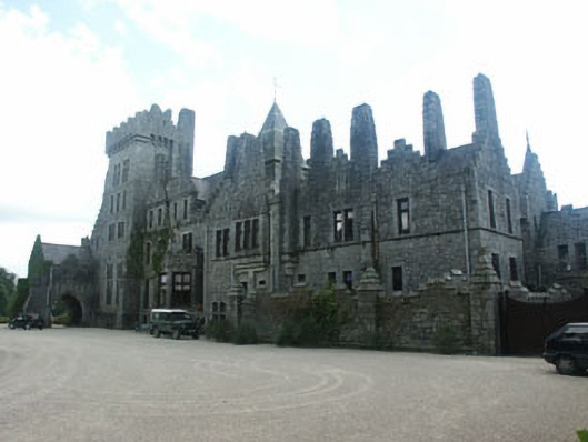 Humewood Castlecountry house · 1.9 mi
 SlievereaghMountain / peak · 2.1 mi
 MoatamoyCastle, motte · 2.5 mi