What is recorded here
Sutuated at the bottom of a steep N-facing slope, just above the floodplain of the W-E River Suir. This is a sandstone monolith with a rectangular cross-section (dims. 1.2m x 0.4m; H 1.4m) and a pointed top. It is oriented E-W and has been damaged in antiquity.
The above description is derived from the published 'Archaeological Inventory of County Waterford' (Dublin: Stationery Office, 1999). In certain instances the entries have been revised and updated in the light of recent research.
Date of upload/revision: 23 December 2008
Likely dating to the Late Neolithic or Bronze Age, this standing stone may have had ceremonial or territorial significance. Its orientation and location near a river suggest possible ritual use or alignment with seasonal or astronomical events.
The monument record does not grant public access. Check the route and ask the landowner before entering private land.
- What survives
- Recorded monument
Places near here
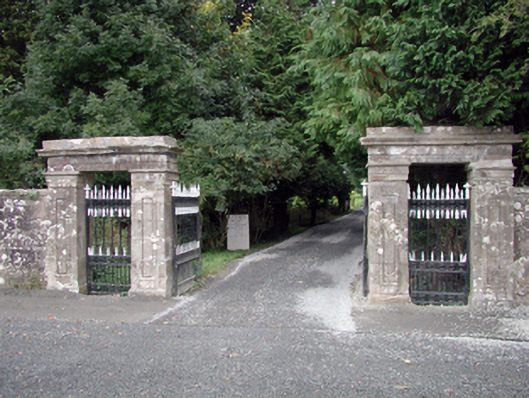 Gurteen Le PoerOfficially recorded historic building · 339 yd
 Large-leaved LimeLarge-leaved Lime · 471 yd
 Kilsheelan Bridgebridge · 490 yd
 European ashEuropean ash · 591 yd
 KilsheelanSettlement deserted, medieval · 637 yd
 Gurteen CastleCastle · 790 yd
 CarrigeenseebohillaMountain / peak · 1665 yd
 Castle (in ruins)Castle, tower house · 1712 yd
 IndicatedEnclosure · 1.1 mi
 CarrigcoumMountain / peak · 1.7 mi
 Maurice DavinMemorial · 3.2 mi
 Carrigaloe RockNamed rock · 4.5 mi