What is recorded here
Located on Green Island in the NE of Lough Corrib. The stone is located toward the NW end of the island, in a small clearing which is surrounded by willow and hawthorn trees, and partly engulfed in brambles and ferns. Granitic stone slab (H 1.1m; L 1m; max T c. 0.3m), with the long axis aligned roughly E–W, set upright in the ground but leaning gently to S. The broad N face has a relatively smooth surface; the S face is slightly convex, with a rougher surface. The stone is thickest (0.3m) at its W end, is somewhat thinner in the middle (T 0.23m) and narrows sharply at its E end. The N face is pockmarked with tiny indentations or holes -these are natural features of the stone.
Attached images:
MA120B003----_01: viewed from N
MA120B003----_02: viewed from W
Compiled by: Jane O'Shaughnessy
Date of upload: 3 June 2015
Likely dating to the Neolithic or Bronze Age, the standing stone may have functioned as a boundary marker, ritual focus, or astronomical alignment point. Local folklore sometimes associates such stones with ancient druids or protective charms against evil spirits.
The monument record does not grant public access. Check the route and ask the landowner before entering private land.
- What survives
- Recorded monument
Places near here
 Bartragh IslandIslet · 173 yd
 Carrigeen IslandIslet · 361 yd
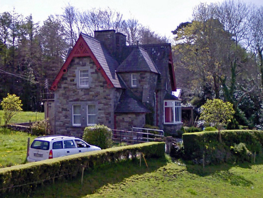 worker's houseworker's house · 1192 yd
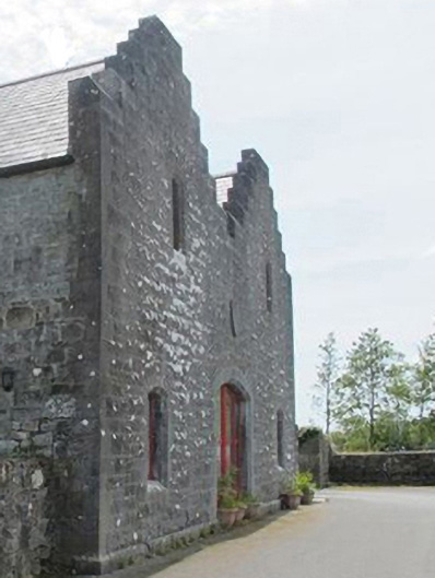 store/warehousestore/warehouse · 1417 yd
 IndicatedFairy fort / earthen ringfort · 1.1 mi
 Caher SpeenaunFairy fort / stone ringfort · 1.1 mi
 Silver FirSilver Fir · 1.5 mi
 Japanese cedarJapanese cedar · 1.5 mi
 Site of CastleCastle, unclassified · 1.5 mi
 School of FalconryHeritage attraction · 1.5 mi
 Cong AbbeyHeritage attraction · 1.6 mi
 Kelly's CaveCave · 1.6 mi