
What is recorded here
In rolling pasture. Circular area (28m N-S; 26m E-W), enclosed by earthen bank (H 1.7m), heavily overgrown. Bank levelled in NW (L 11m) and replaced by stone fence. Gap (Wth 2.7m) in NE.
The above description has been derived from D. Lavelle (compiler), An Archaeological Survey of Ballinrobe and District including Lough Mask and Lough Carra. Lough Mask and Lough Carra Tourist Development Association (1994), No. 168.
Date of upload: 12 January 2015
The monument record does not grant public access. Check the route and ask the landowner before entering private land.
- What survives
- Recorded monument
Places near here
 Caher SpeenaunFairy fort / stone ringfort · 350 yd
 Moytura Househouse · 557 yd
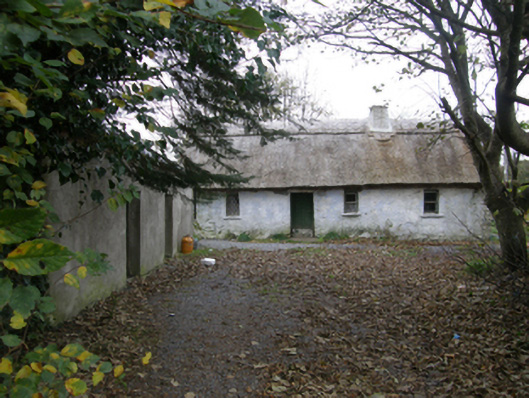 farm housefarm house · 600 yd
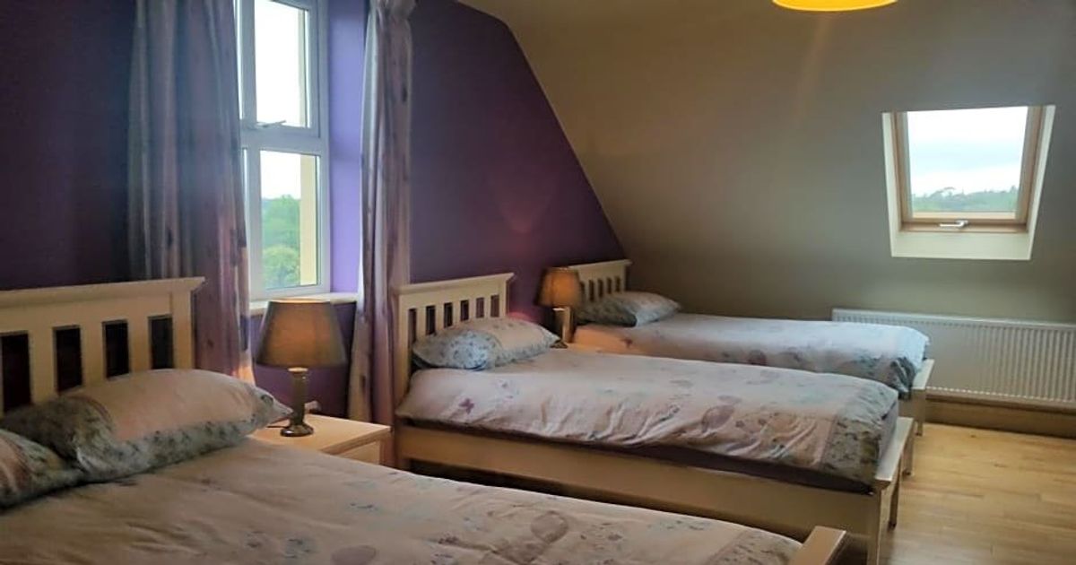 Enclosure in LackafinnaEnclosure · 822 yd
 Easter IslandIslet · 1214 yd
 Bartragh IslandIslet · 1687 yd
 Caherduff CastleCastle · 1755 yd
 Kelly's CaveCave · 1.4 mi
 Cong AbbeyHeritage attraction · 1.6 mi
 European YewEuropean Yew · 1.7 mi
 Quiet Man MuseumMuseum · 1.7 mi
 TonacashlanCastle, unclassified · 1.7 mi
Other information
Photo: Credit not shown in the picture search · Rights wording not checked; contact us if this picture should be removed