What is recorded here
Bingfield is not listed in the completed survey, though Gortnashangan Lower is not empty. A tall granite pillar still stands in pasture, its base packed with smaller stones to keep it upright. The distinction may be a boundary, a ownership mark or a landmark for a lost road.
According to Davies (ITA Survey 946), this was situated on a slight rise in good pasture with a restricted view. A very weathered block of local granite (H 1.2m; dims, 1m x 0.74m). Socket packed with several small stones. Not located.
The above description is derived from the published 'Archaeological Inventory of County Cavan' (Dublin: Stationery Office, 1995). In certain instances the entries have been revised and updated in the light of recent research.
Date of upload/revision: 22 December 2008
The monument record does not grant public access. Check the route and ask the landowner before entering private land.
- What survives
- Recorded monument
Places near here
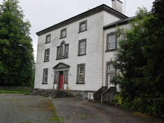 Bingfield Housecountry house · 286 yd
 Castle CosbyCastle, unclassified · 1056 yd
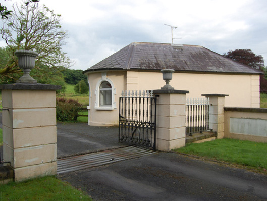 gate lodgegate lodge · 1232 yd
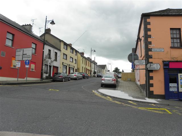 IndicatedFairy fort / earthen ringfort · 1386 yd
 Lismore CastleCastle, unclassified · 1707 yd
 LismoreFairy fort / earthen ringfort · 1.1 mi
 SycamoreSycamore · 1.2 mi
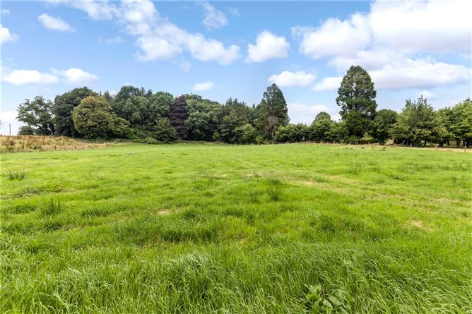 Drumbar ForestForest · 1.3 mi
 BellvilleMountain / peak · 1.4 mi
 DrumcarbanMountain / peak · 1.9 mi
 Cornafean GFCMemorial · 2.8 mi
 Rambling at Farnham EstateVisitor information · 2.9 mi