What is recorded here
Not marked on the 1841 or 1962 editions of the OS 6-inch maps. A sandstone conglomerate (max. base L 1.08m; Wth 1.13m; H 1.38m) roughly rectangular in plan, narrowing towards the top and tilting sligtly to W. Two small pieces of sandstone protrude from the soil around its base. The ground around it has been eroded, probably by cattle using the stone as a scratching post. Known locally as the 'Mass Rock' and believed to bave been used in Penal times as a mas site (Feehan 1979, 237).
The above description is derived from the published 'Archaeological Inventory of County Laois' (Dublin Stationery Office, 1995) compiled by P. David Sweetman, Olive Alcock and Bernie Moran. In certain instances the entries have been revised and updated in the light of recent research.
Date of upload: 17 December 2007
Probably dates to the Late Neolithic or Bronze Age, based on its form and construction. Its purpose may have been ritual or commemorative, though no specific folklore or recorded use is associated with the site.
The monument record does not grant public access. Check the route and ask the landowner before entering private land.
- What survives
- Recorded monument
Places near here
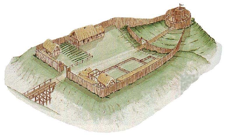 CastleCastle, motte and bailey · 839 yd
 IndicatedBawn · 1132 yd
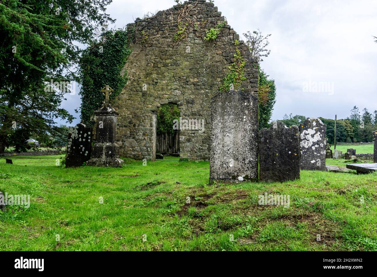 Ecclesiastical enclosure in SrahanboyEcclesiastical enclosure · 1286 yd
 Enclosure in GarranbaunEnclosure · 1.5 mi
 ArderinMountain / peak · 1.7 mi
 FarbreagueMountain / peak · 2.2 mi
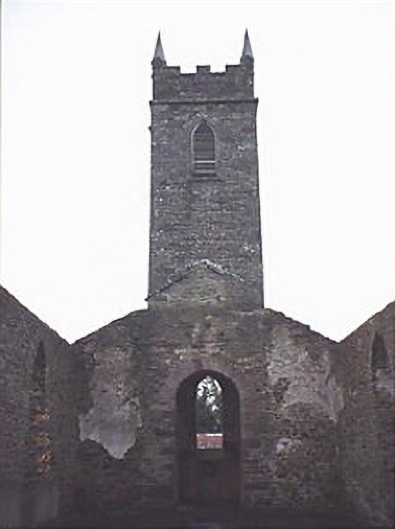 Saint Kevin's Catholic Churchchurch/chapel · 2.3 mi
 Abbey (in Ruins)Church · 3.8 mi
 Kinnitty ForestForest · 4.7 mi
 Saint Kieran's WellSpring · 4.9 mi
 Sitka SpruceSitka Spruce · 5.2 mi
 Saint Dominick's WellSpring · 5.5 mi