
What is recorded here
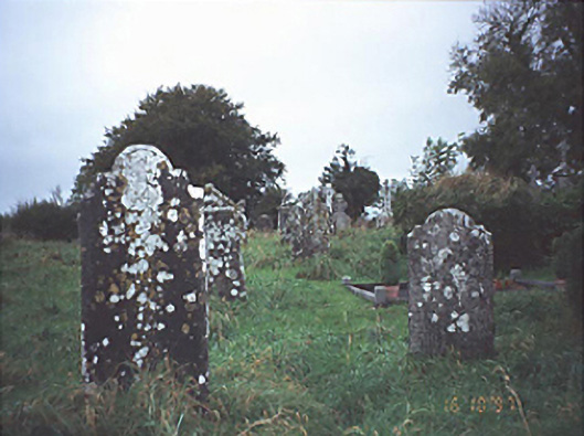
In undulating countryside. St Molua founded a monastery here in the sixth century and he is commemorated on the 4th August (O'Hanlon and O'Leary 1907, vol. 1, 81, 277). The present church is medieval in date but within the surrounding D-shaped graveyard (LA015-023002-), a variety of features associated with the earlier foundation survive. These include St Molua's Grave, two Early Christian cross-slabs (LA015-023005/009-), the decorated capital of a Romanesque doorway (LA015-023003-), another stone bearing Romanesque decoration incorporated in the graveyard wall, and St Moula's trough (LA015-023004/008-) which was originally located in E end of graveyard under a rag tree now no longer extant. St Moula's stone, a weathered limestone bullaun (LA015-023006-) (L 1.6m, Wth 1.1m; H 0.6m) with five depressions, originally lay in field across road to SSW. It was recently pushed up against W end of boundary of that field. Remains of a possible ecclesiastical enclosure (LA015-023007-) lie c. 200m to SE.
The church (L 13m N-S; 6.5m E-W; wall T 1m) is constructed of randomly coursed sandstone. In poor condition, only the lower courses of E and S walls survive, and the grassed-over wall-footings of W and n walls. Featureless, but some cut and dressed stone from it is incorporated in the graveyard wall and architectural fragments, some of which were reused as grave-markers, are visible in graveyard (LA015-023002-). Most graves date from 1700-1900. The Teehan family vault, at N end of E wall of church, has reused window facing-stones, with identical crosses, from the earlier twelfth-century church (Fitzpatrick 1993).
The above description is derived from the published 'Archaeological Inventory of County Laois' (Dublin Stationery Office, 1995) compiled by P. David Sweetman, Olive Alcock and Bernie Moran. In certain instances the entries have been revised and updated in the light of recent research.
Date of upload: 17 December 2007
The monument record does not grant public access. Check the route and ask the landowner before entering private land.
- What survives
- Recorded monument
Places near here
 Historic buildingOfficially recorded historic building · 9 yd
 Ecclesiastical enclosure in Kyle (clandonagh By.)Ecclesiastical enclosure · 57 yd
 OutlinedEnclosure · 1331 yd
 Burial Gd.Bawn · 1439 yd
 Cloncourse CastleHouse, fortified house · 1677 yd
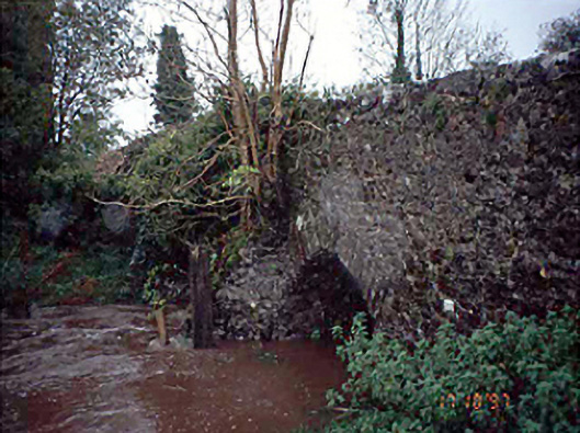 Moneymore Bridgebridge · 1.2 mi
 Saint Kieran's WellSpring · 3.3 mi
 European BeechEuropean Beech · 4.1 mi
 European ashEuropean ash · 4.5 mi
 FarbreagueMountain / peak · 4.8 mi
 Roscrea Petty Sessions HouseHeritage attraction · 6.0 mi
 Black HillMountain / peak · 6.1 mi
Other information
Photo: Credit not shown in the picture search · Rights wording not checked; contact us if this picture should be removed