What is recorded here
Gortinreagh holds a broken stone marker in good land, likely damaged around 1977 rather than lost to antiquity. The field survey recovered what the official maps refused to show, pulling a human-made feature back into view through direct observation. The stone may have marked a boundary, a burial or a local story now forgotten, but it still stands tall enough to resist complete erasure.
A small stump of stone is said to be the remains of a standing stone not marked on the OS 6-inch maps. It is believed to have been broken c. 1977. It is located in an elevated position in good land with wide views.
The above description was derived from the 'Archaeological Survey of County Donegal. A description of the field antiquities of the County from the Mesolithic Period to the 17th century.' Compiled by: Brian Lacey with Eamon Cody, Claire Cotter, Judy Cuppage, Noel Dunne, Vincent Hurley, Celie O'Rahilly, Paul Walsh and Seán Ó Nualláin (Lifford: Donegal County Council, 1983). In certain instances the entries have been revised and updated.
Date of upload: 22 September 2008
The monument record does not grant public access. Check the route and ask the landowner before entering private land.
- What survives
- Recorded monument
Places near here
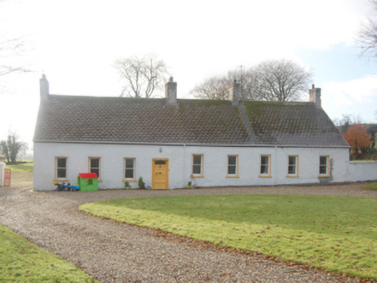 Guystownhouse · 1163 yd
 Enclosure in LismontigleyEnclosure · 1666 yd
 Enclosure in Shannon LowerEnclosure · 1704 yd
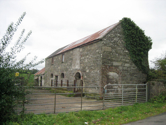 outbuildingoutbuilding · 1.1 mi
 Feddyglass WoodWood · 2.0 mi
 Croaghan HillMountain / peak · 2.1 mi
 PalaceHouse, fortified house · 2.3 mi
 Carnowen HillMountain / peak · 3.0 mi
 BATTLE SITE: BATTLE OF THE FORDS, Central crossing, 1689 in Magirr; Town Parks OF StrabaneBATTLE SITE: BATTLE OF THE FORDS, Central crossing, 1689 · 3.2 mi
 OutlinedBawn · 3.8 mi
 Second World War MemorialMemorial · 3.9 mi
 Abercorn FactoryHeritage attraction · 3.9 mi