What is recorded here
Gortaquigley holds a two-metre stone on rolling Donegal land, tall enough to block part of the horizon and thin enough to force a person around it. It has stood through changing farms, passing carts and forgotten conversations, while the view stretched unbroken in every direction. People may have marked a boundary, honoured a dead person or simply watched the weather roll across the valley from that place. The stone still does what it has always done, holding its ground and giving the landscape a point of identity.
A standing stone c. 2m high × c. 0.4m wide. Situated on rolling arable land with extensive views.
The above description was derived from the 'Archaeological Survey of County Donegal. A description of the field antiquities of the County from the Mesolithic Period to the 17th century.' Compiled by: Brian Lacey with Eamon Cody, Claire Cotter, Judy Cuppage, Noel Dunne, Vincent Hurley, Celie O'Rahilly, Paul Walsh and Seán Ó Nualláin (Lifford: Donegal County Council, 1983). In certain instances the entries have been revised and updated.
Date of upload: 22 September 2008
Likely dating to the Neolithic or Bronze Age, this standing stone may have served a ceremonial or territorial function. No specific folklore or detailed use is recorded for this site.
The monument record does not grant public access. Check the route and ask the landowner before entering private land.
- What survives
- Recorded monument
Places near here
 bridgebridge · 491 yd
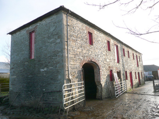 store/warehousestore/warehouse · 858 yd
 PalaceHouse, fortified house · 957 yd
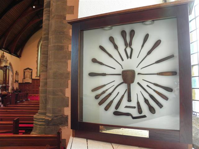 Cathedral in Raphoe TownparksCathedral · 1064 yd
 CathedralCathedral · 1064 yd
 Mongorry HillMountain / peak · 2.1 mi
 Feddyglass WoodWood · 2.3 mi
 Carnowen HillMountain / peak · 3.3 mi
 CastleCastle, unclassified · 4.2 mi
 Abercorn FactoryHeritage attraction · 5.6 mi
 Gray PrinterHeritage attraction · 5.7 mi
 1916 Easter Rising Memorial StoneMemorial · 5.8 mi