What is recorded here
Standing stone in Glenderry is a lost place, remembered only through a narrow boreen and a heavy gallan half-swallowed by bracken. The story preserves shape, size and a small cut hole, but it no longer preserves the exact spot where the stone stood. What is missing is not trivial. Without that point, the memory becomes a chamber with no door, and the stone retreats into imagination.
The precise location of a standing stone has not been identified in the townland of Glenderry. Described in 1947 in the minute book of the County Kerry Field Club which recorded that; ‘The party next proceeded along a narrow boreen in the direction of the shore and this boreen led them directly to a remarkable site. The first object that meets the eye is a heavy gallan about 4½feet [1.4m] high of square shape with one fair surface side about 2’ [0.6m] wide and facing north. In this face about one third the distance from the ground a hole is cut into but not through the stone, it is about 2” [0.05m] diameter and 2” [0.05m] deep. The whole site is overgrown with bracken which covers it waist deep’ ‘ (SMR File; Minute Book Co. Kerry Field Club Vol. 2, 752). An earlier site visit which took place on the 12/08/1939 by the County Kerry Field Club appears to describe the same standing stone which was recorded as standing on the 'lands of John Higgins of Glenderry' (Minute Book Co. Kerry Field Club Vol. 1, 693).
Compiled by: Caimin O'Brien
Date of upload: 13 June 2022
The monument record does not grant public access. Check the route and ask the landowner before entering private land.
- What survives
- Recorded monument
Places near here
 Mohaunagat FortArchaeological place · 133 yd
 Enclosure in GlenderryEnclosure · 558 yd
 Triskbeg MountainMountain / peak · 604 yd
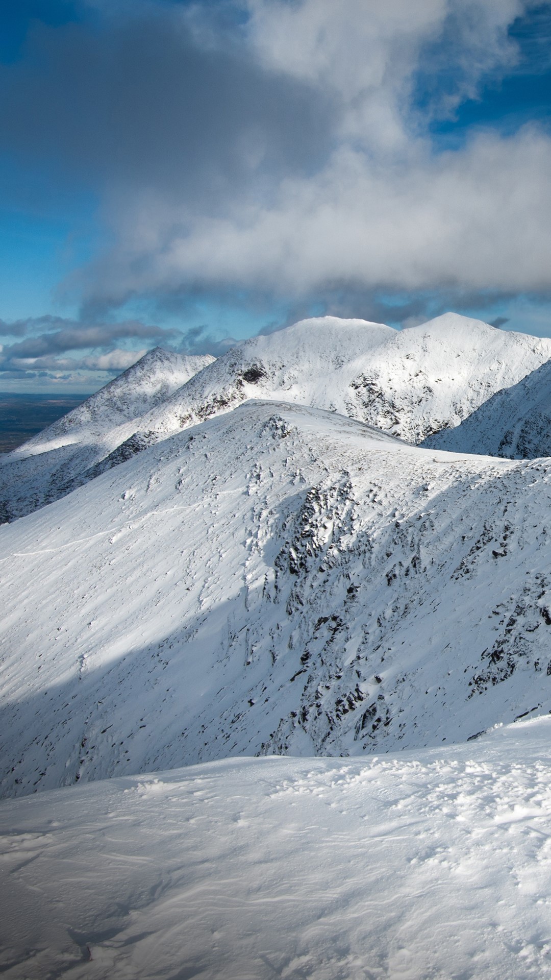 Triskmore MountainMountain / peak · 759 yd
 St Macadaws Church (in ruins)Church · 1234 yd
 Kerry Head Signal TowerRuins · 1.4 mi
 Our Lady's Holy WellSpring · 3.3 mi
 Site of Ballingarry CastleCastle, unclassified · 3.9 mi
 Castle Shannon (in ruins)Castle, unclassified · 4.7 mi
 Inshaboy PointHeadland · 5.2 mi
 Banna StrandBeach / strand · 5.5 mi
 Tralee BayBay · 6.2 mi