What is recorded here
Glenaknockane holds a rectangular standing stone seventy-five centimetres tall, aligned northeast to southwest at the base of a northwestern slope. It is small enough to overlook yet distinct enough to mark, suggesting people once valued the exact spot where grass and stone meet. The pasture may have swallowed larger shapes or hidden a boundary, but this much remains clear: someone stood there, saw the slope, and left a marker behind.
In rough pasture, near base of NW-facing slope. Stone (H 0.75m; 0.75m x 0.4m) is rectangular in plan, long axis NE-SW.
The above description is derived from the published 'Archaeological Inventory of County Cork. Volume 4: North Cork' (Dublin: Stationery Office, 2000). In certain instances the entries have been revised and updated in the light of recent research.
Date of upload/revision: 14 January 2009
Dated to the Late Neolithic or Early Bronze Age, this standing stone may have functioned as a territorial marker or had ceremonial significance. No specific folklore or detailed use is recorded for this site.
The monument record does not grant public access. Check the route and ask the landowner before entering private land.
- What survives
- Recorded monument
Places near here
 IndicatedKiln, lime · 51 yd
 Eagle's NestMountain / peak · 1732 yd
 RoadRoad, unclassified togher · 1.0 mi
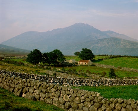 Mound in Barrahaurin,glenaknockaneMound · 1.2 mi
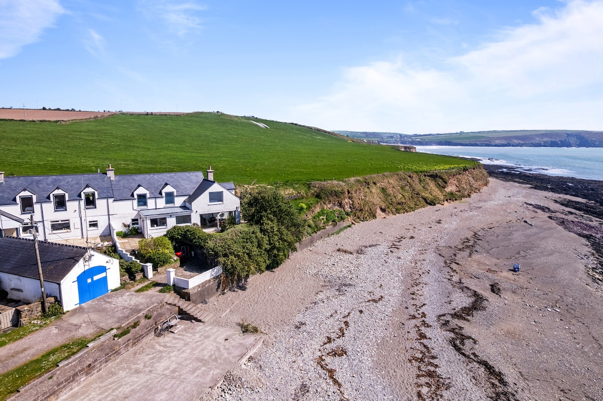 Enclosure in Glentaneatnagh NorthEnclosure · 1.4 mi
 Knockduff Wind FarmVisitor information · 2.1 mi
 KnockboyMountain / peak · 2.4 mi
 Mount Hillary - Mount Hillary LoopWalking route · 4.9 mi
 Saint Bartholomew's WellSpring · 5.0 mi
 Mount Hillary - Father Murphy LoopWalking route · 5.0 mi
 New TipperaryVisitor information · 5.3 mi
 St Fursey's WellSpring · 6.6 mi