What is recorded here
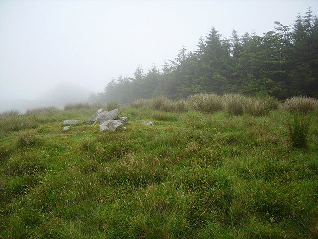
On an E-W rocky ridge, largely obscured by gorse bushes. According to local information, a possible standing stone is situated at this location and is visible from the adjacent road. However, following an extensive inspection of the area, only natural features were noted. There is no visible trace of this possible standing stone.
The above description is derived from 'The Archaeological Inventory of County Cork. Volume 5' (Dublin: Stationery Office, 2009).
Date of upload: 22 December 2009
This remains an important historical record, but the official description says the monument is no longer visible or has been destroyed. The monument record does not grant public access. Check the route and ask the landowner before entering private land.
- What survives
- No visible remains or recorded as destroyed
Places near here
 IndicatedFairy fort / earthen ringfort · 451 yd
 farm housefarm house · 718 yd
 Parknakilla Childrens Burial GdBurial ground · 835 yd
 Derrylahard EastMountain / peak · 1.2 mi
 Barnageehy Loop WalkWalking route · 1.4 mi
 KnockaphukeenMountain / peak · 1.6 mi
 MineMine, copper · 1.9 mi
 Danno O’Mahony statueMemorial · 2.4 mi
 Ballydehob's 3-Arch Road BridgeVisitor information · 2.4 mi
 Ballydehob Railway StationVisitor information · 2.5 mi
 Mannion's Island (Small)Islet · 3.7 mi
 Coolnalong Castle (in Ruins)House, fortified house · 3.8 mi