What is recorded here
The 'Gullaun' marked on the OS Fair Plan, and shown untitled on the 1st edition of the OS map, stood about 5 feet (1.5m) tall and was removed c. 12 years ago (local information). It was situated in reclaimed pastureland on an E facing slope of Brickany mountain, less that 50m from a small tributary of the Emlagh river.
The above description is derived from J. Cuppage, ‘Corca Dhuibhne. Dingle Peninsula archaeological survey. Ballyferriter. Oidhreacht Chorca Dhuibhne’ (1986), no. 151. In certain instances the entries have been revised and updated in the light of recent research.
Date of upload: 4 August 2013
The monument record does not grant public access. Check the route and ask the landowner before entering private land.
- What survives
- Recorded monument
Places near here
 BrickanyMountain / peak · 990 yd
 Endurance MonumentMonument · 1327 yd
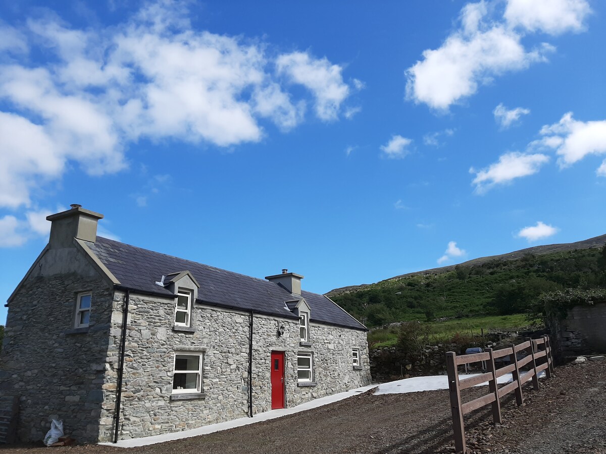 Hut site in Ballynahunt,kilduff (corkaguiny By.)Hut site · 1415 yd
 Inch BeachVisitor information · 1.4 mi
 Church in Inch East (corkaguiny By.)Church · 1.4 mi
 EmlaghMountain / peak · 1.7 mi
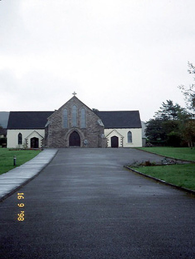 Catholic Church of the Sacred Heartchurch/chapel · 2.6 mi
 Statue of Our LadyHeritage attraction · 2.9 mi
 Jerome ConnorMemorial · 2.9 mi
 Bunaneer StrandBeach / strand · 3.0 mi
 Graveyard in BallynacourtyGraveyard · 3.6 mi
 Glanteenassig Forest ParkForest · 3.6 mi