What is recorded here
Garraneycarney holds a subrectangular standing stone, one and a half metres tall, set on a south-facing slope where pasture grass presses against its base. Its long axis points north-south, aligning the rock with the daily path of sunlight rather than human ambition. The exposed packing-stone at its foot suggests someone once chose this exact spot, lifted the weight, and stood back to watch it hold. That much is visible. The rest belongs to the field, the sky, and the patience of stone.
In pasture, on S-facing slope. Stone (H 1.53m; 1.1m x 0.8m) is subrectangular in plan, with packing-stone exposed at base; long axis N-S.
The above description is derived from the published 'Archaeological Inventory of County Cork. Volume 3: Mid Cork' (Dublin: Stationery Office, 1997). In certain instances the entries have been revised and updated in the light of recent research.
Date of upload/revision: 14 January 2009
The monument record does not grant public access. Check the route and ask the landowner before entering private land.
- What survives
- Recorded monument
Places near here
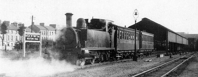 IndicatedHut site · 1013 yd
 KilnKiln, corn-drying · 1671 yd
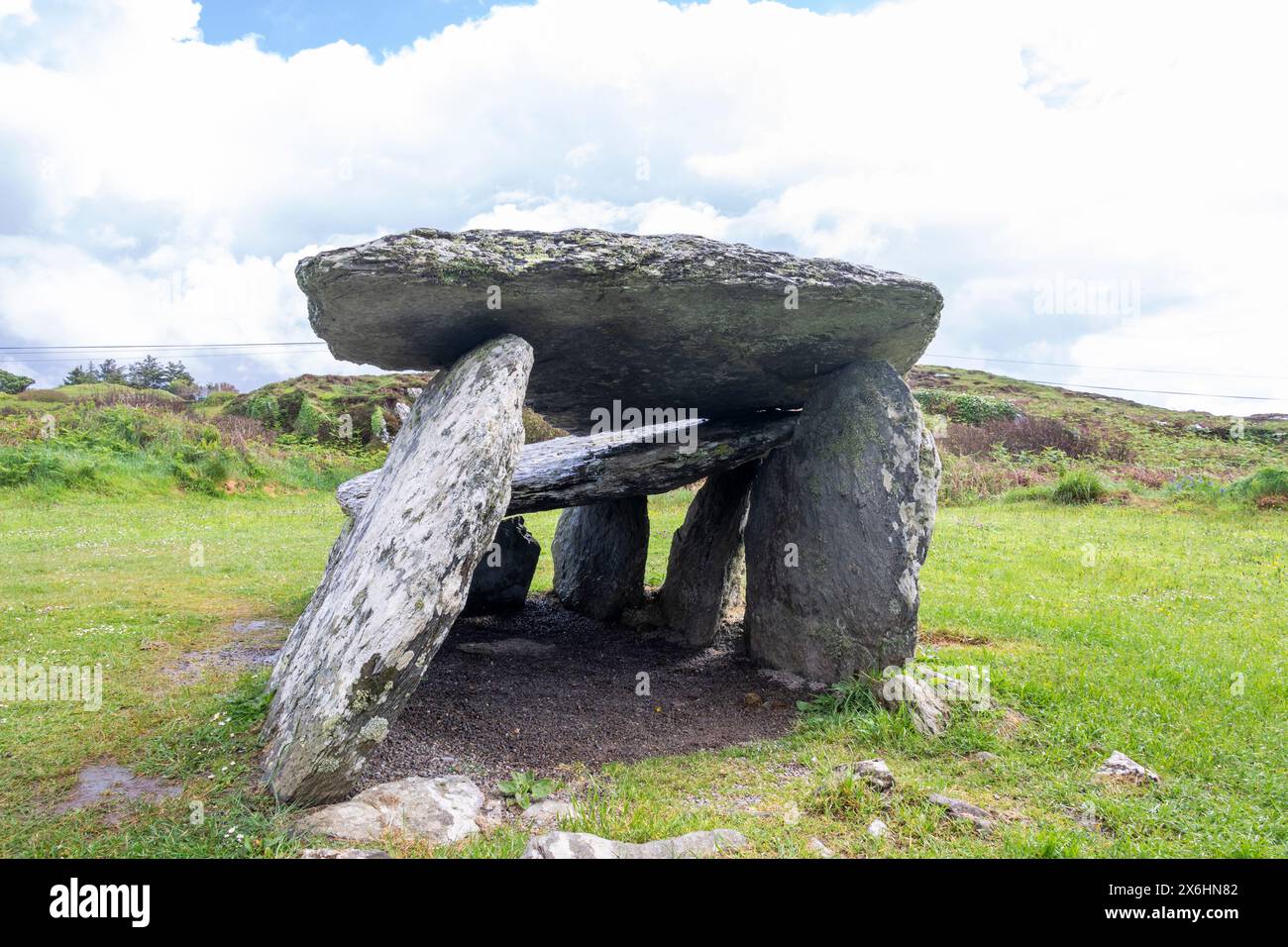 Wedge tomb in CarrigonirtaneWedge tomb · 1.0 mi
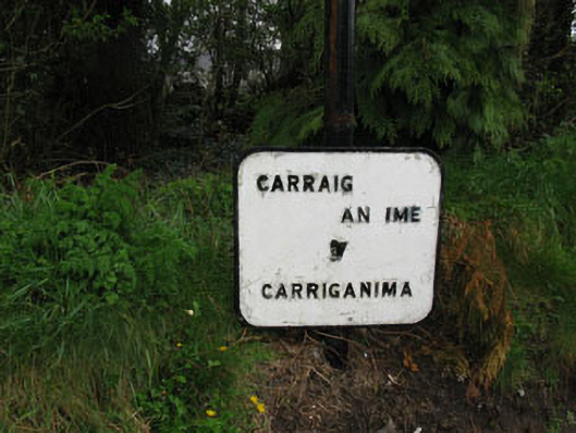 sign postsign post · 1.2 mi
 Cnoc na nUlán (mullach thoir)Mountain / peak · 1.8 mi
 Mullaghanish Far North-East TopMountain / peak · 2.0 mi
 Kilmeedy CastleCastle, tower house · 4.0 mi
 Standing Stone ? At J WellMemorial · 4.1 mi
 Paddy Mulcahey 2009Memorial · 4.1 mi
 Castle (Site of)Castle, unclassified · 4.7 mi
 RowanRowan · 4.7 mi
 Cascade WoodWood · 4.7 mi