What is recorded here
Garranabraher holds a rectangular standing stone, 1.1 metres tall, tilted NNW-SSE on a north-facing slope now buried under tillage. The stone may have marked a boundary, a burial, or a warning, but its purpose has faded into the soil. It still stands because someone set it there, and the earth has not yet swallowed that choice.
In tillage, on N-facing slope. Rectangular stone (H 1.1m; 0.75m x 0.35m) long axis NNW-SSE.
See Excavations 2003, 58, no. 257 Fairhill, standing stone site.
The above description is derived from the published 'Archaeological Inventory of County Cork. Volume 2: East and South Cork' (Dublin: Stationery Office, 1994). In certain instances the entries have been revised and updated in the light of recent research.
Date of upload/revision: 14 January 2009
The monument record does not grant public access. Check the route and ask the landowner before entering private land.
- What survives
- Recorded monument
Places near here
 Church (Site of)Church · 583 yd
 Church (Site of), Grave Yd (Disused)Graveyard · 621 yd
 Blackstone Bridgebridge · 756 yd
 Church of the Resurrectionchurch/chapel · 832 yd
 Meadow AvenueMemorial · 1120 yd
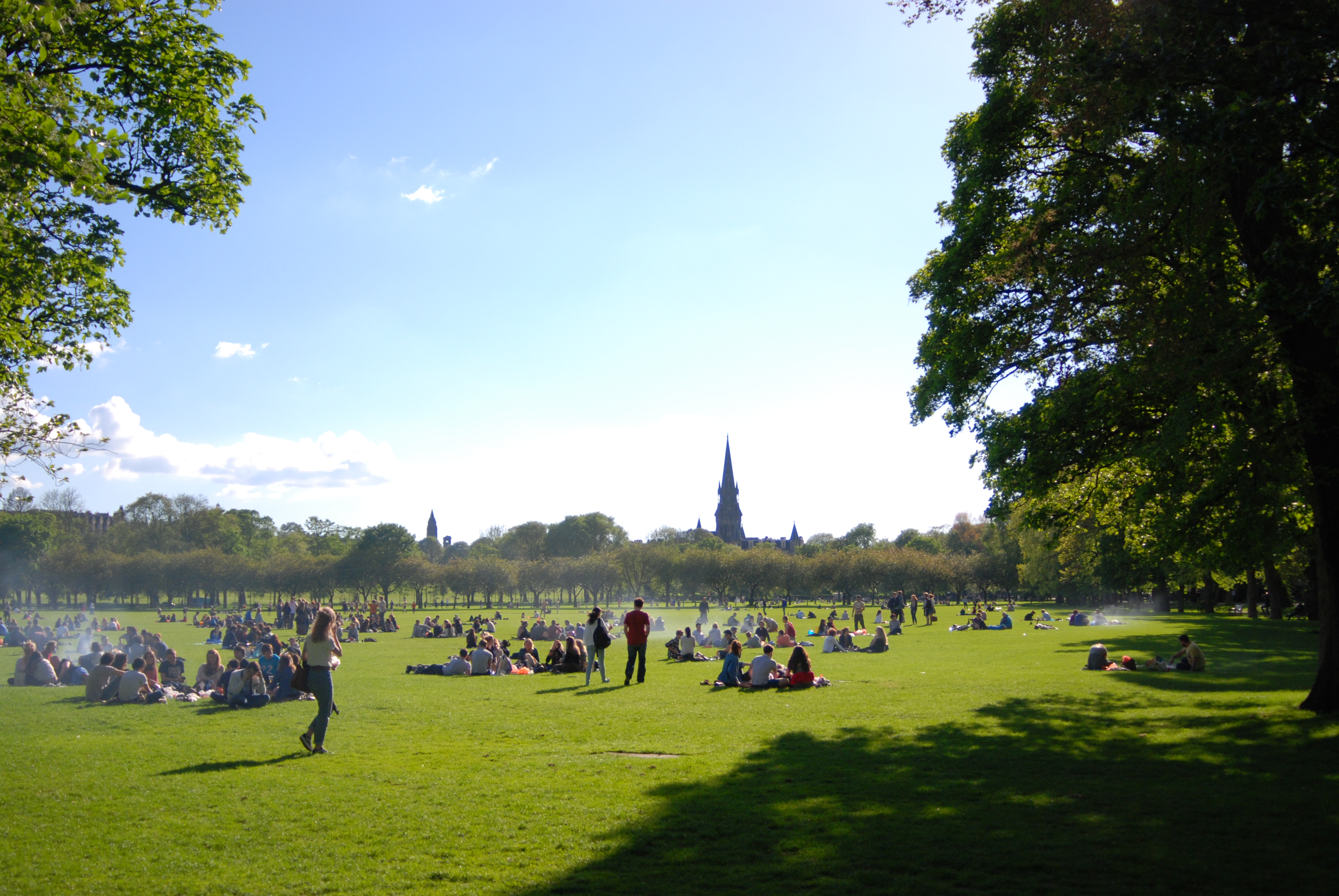 The MeadowsMemorial · 1269 yd
 Information DeskVisitor information · 1747 yd
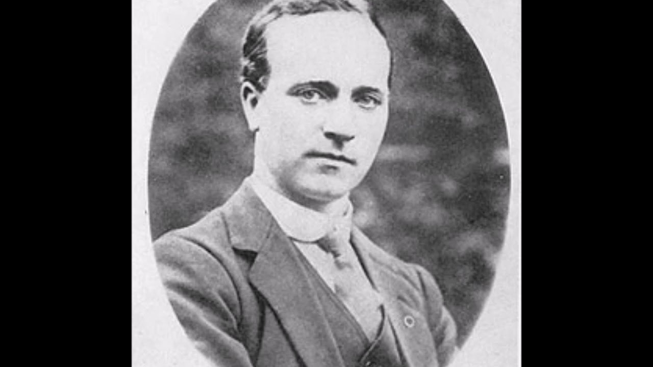 Cork Folklore ProjectMuseum · 1.1 mi
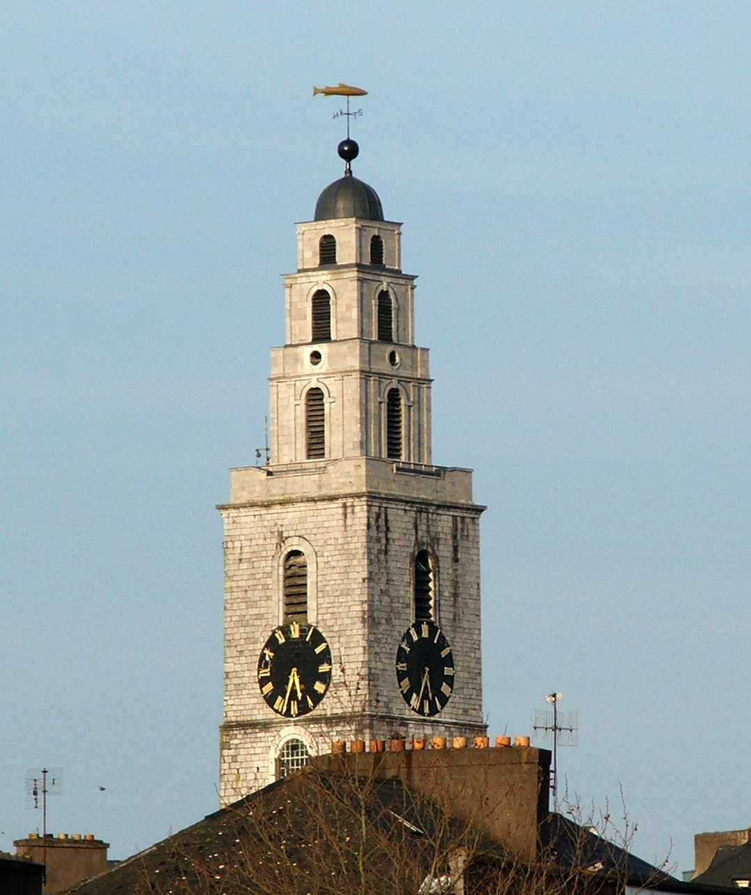 Church of Saint Anne, ShandonHistoric church and bell tower · 1.2 mi
 Shandon Bells ViewViewpoint · 1.3 mi
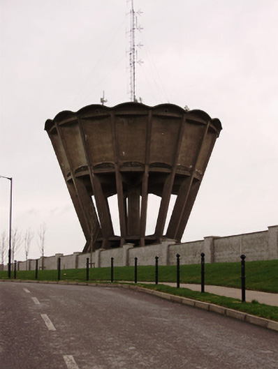 water towerwater tower · 1168 yd
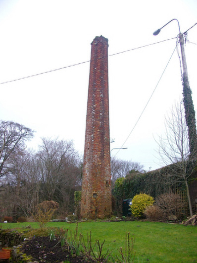 chimneychimney · 1281 yd