What is recorded here
In pasture, on an E-facing slope. Upright stone (H 1.05m) of limestone is sub-rectangular in plan (L 0.57m; T 0.28m); long-axis E-W. Natural fissures at base of E and W-face. Roughly rectangular in elevation, narrowing slightly towards the top. Edges smooth from cattle scratching and a slight depression around stone caused by cattle poaching.
Compiled by: Denis Power
Date of upload: 31 October 2013
The monument record does not grant public access. Check the route and ask the landowner before entering private land.
- What survives
- Recorded monument
Places near here
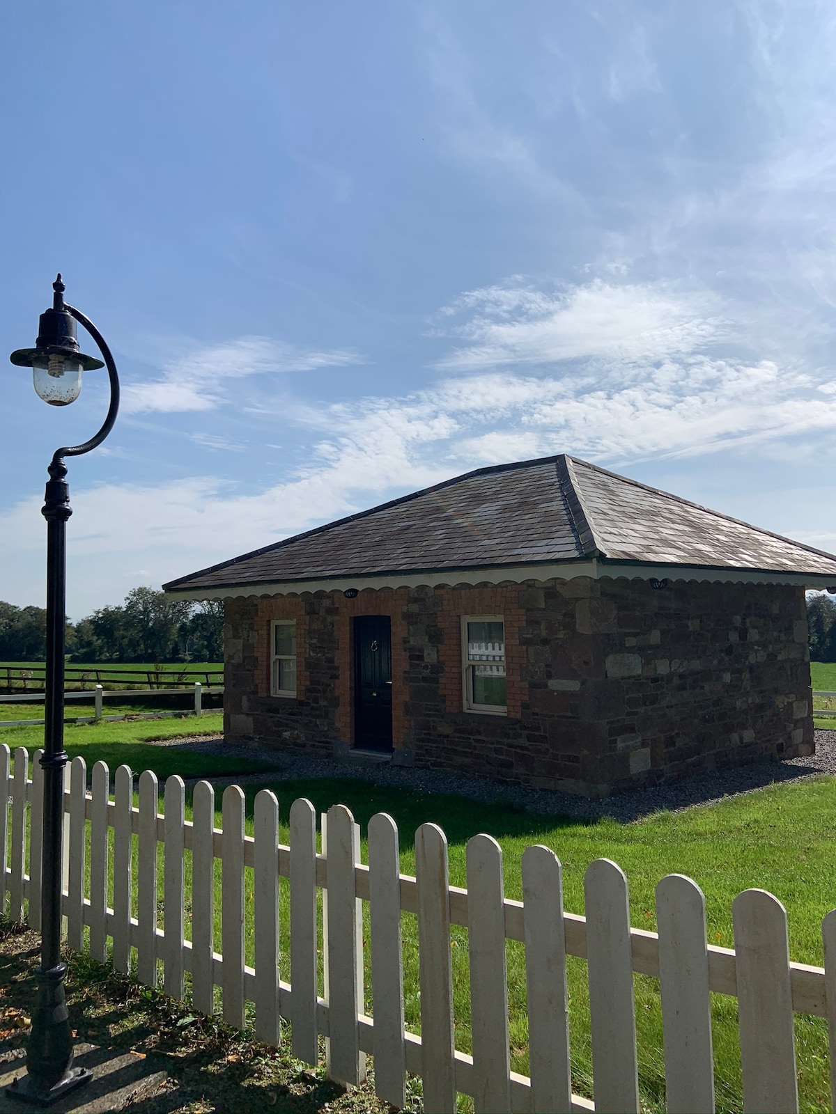 Hut site in GalboolaHut site · 796 yd
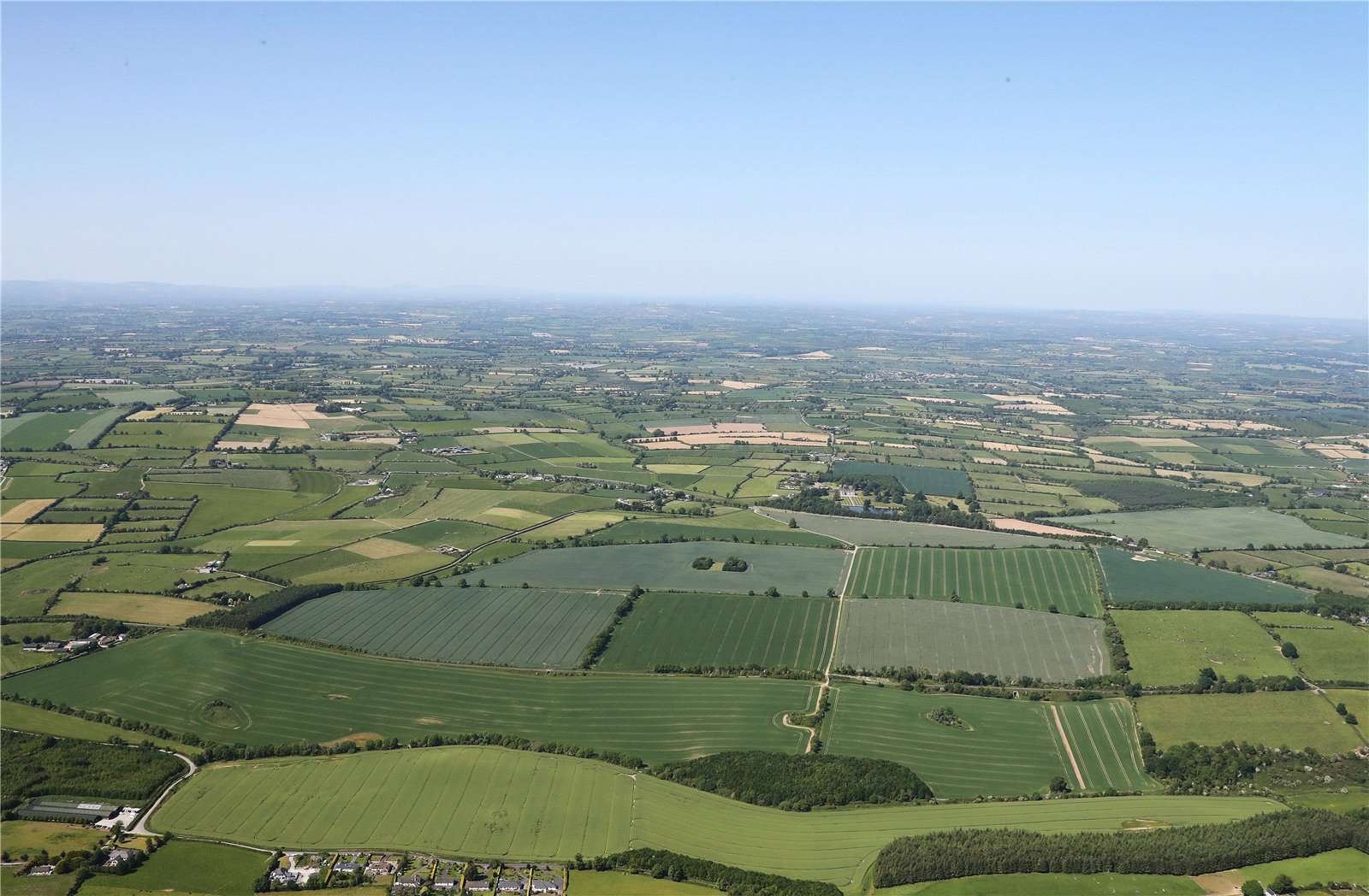 Earthwork in BallinardEarthwork · 1646 yd
 Castle (in ruins)Castle, unclassified · 1.0 mi
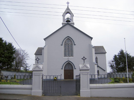 Catholic Church of the Sacred Heartchurch/chapel · 1.4 mi
 Cloughansoun Bridgebridge · 1.6 mi
 St. Patrick's WellSpring · 2.0 mi
 Kilteely HillMountain / peak · 2.0 mi
 Black Castle (Site of)Castle, unclassified · 2.1 mi
 KnockseefinMountain / peak · 3.8 mi
 Flat cemetery in Knockainy WestFlat cemetery · 4.3 mi
 St Patrick's WellSpring · 7.4 mi
 Ballinvreena LoopVisitor information · 9.9 mi