What is recorded here
In rough pasture, within enclosure LI023-101----. C-shaped area (5.6m N-S; 4.2m E-W) slightly off-centre to E of interior of enclosure. Banks are broad and linear (L 5.8m at N; L 3.95m at E; L 4.6m at S) with an opening entrance at W (Wth 1m). Banks are earthen. N-bank (overall Wth 5.8m; int. H 0.17m; ext. H 0.35m) and S-bank have been disturbed by ploughing ridge (long-axis NNW-SSE) on their western sides. Similarly the E-bank (Wth 3.95m; int. H 0.2m; ext. H 0.25m) has a furrow on its exterior and this 'dip' of the furrow accentuates the present exterior height of the bank.
Compiled by: Denis Power
Date of upload: 31 October 2013
The monument record does not grant public access. Check the route and ask the landowner before entering private land.
- What survives
- Recorded monument
Places near here
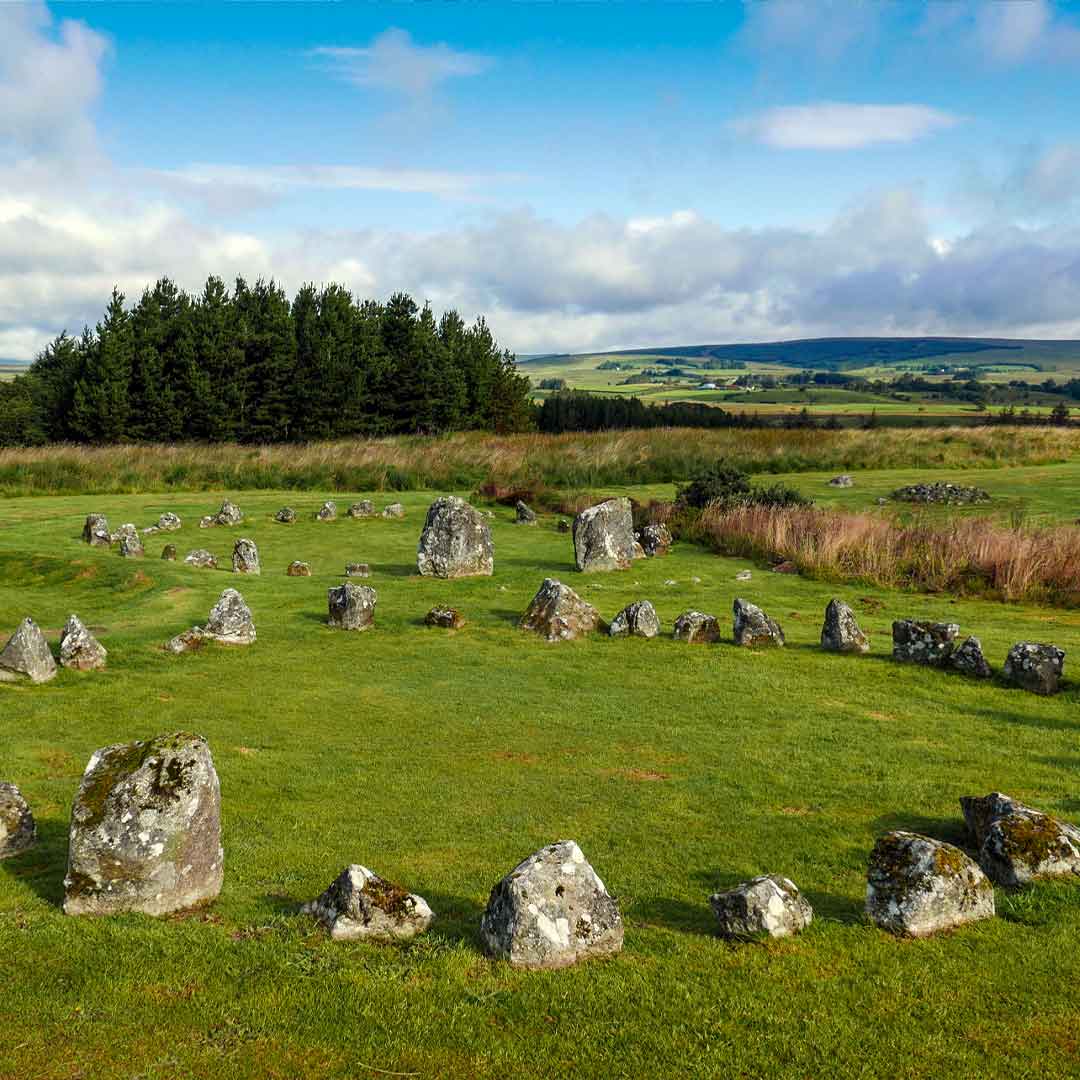 BarrowBarrow, ring-barrow · 1060 yd
 Field system in Ballyphilip (clanwilliam By.)Field system · 1.1 mi
 Church (in ruins)Church · 1.2 mi
 Castle (in ruins)Castle, unclassified · 1.4 mi
 garda station/constabulary barracksgarda station/constabulary barracks · 1.5 mi
 Black Castle (Site of)Castle, unclassified · 2.0 mi
 St. Patrick's WellSpring · 2.1 mi
 Kilteely HillMountain / peak · 2.3 mi
 KnockseefinMountain / peak · 3.6 mi
 Flat cemetery in Knockainy WestFlat cemetery · 4.8 mi
 ToberagaddySpring · 5.1 mi
 Ballinvreena LoopVisitor information · 10 mi
Other information
Photo: Credit not shown in the picture search · Rights wording not checked; contact us if this picture should be removed