What is recorded here
Located on a slight rise, in an expanse of flat, sandy coastal pasture on the S side of Lackan Bay. Overlooked to S by a low ridge that merges at NE with sand dunes. The stone stands at the junction of two field banks, one oriented ENE−WSW, the other NNW−SSE.
A tall, straight-sided, pillar-like stone (H 3.3m; 0.46m NE-SW; 0.32m NW-SE), which tapers gently at the top to a roughly triangular peak. It leans slightly to SE.
According to one tradition recorded in the 1838 OS Letters, St. Patrick erected this stone, but another tradition held that it was erected to commemorate a victory of the Irish over the Danes who fled to sea from this location (O'Flanagan 1927, 196 (102)).
Compiled by: Jane O’Shaughnessy
Date of upload: 13 November 2018
Likely dating to the Late Neolithic or Bronze Age, the stone may have functioned as a territorial marker or ritual focus, possibly aligned with coastal landscape features. Local folklore sometimes associates such stones with ancient watchmen or protective spirits of the shore.
The monument record does not grant public access. Check the route and ask the landowner before entering private land.
- What survives
- Recorded monument
Places near here
 TobernacreevaHoly well · 332 yd
 Enclosure in CarrowtrasnaEnclosure · 819 yd
 CastleCastle, unclassified · 1420 yd
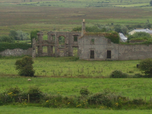 Castlelackancountry house · 1437 yd
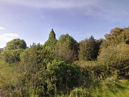 Lackan Church (Lackan)church/chapel · 1634 yd
 TrabaunBeach / strand · 1.4 mi
 French Landing 1798Memorial · 1.5 mi
 CastlenageehaCastle, unclassified · 1.6 mi
 Rinnaun PointHeadland · 3.5 mi
 Green IslandIslet · 3.9 mi
 Battle of Killalabattle · 4.0 mi
 Lisheen Grave YardArchaeological place · 4.2 mi