
What is recorded here
In pasture, located on top of a ridge, with excellent views in all directions.
This enclosure is not indicated on the 1838 and 1922 OS 6-inch maps. It consists of an oval area (29m E-W; 20.5m N-S) defined by a sod-covered bank (Wth 1.4m at NE, 2.6m at S; int. H 0.3m; ext. H 0.2m at NE, 0.6m at S), truncated at W by a field wall/townland boundary. The bank is best defined at S where there is a more pronounced external slope, but elsewhere it is low and degraded, with stones, including occasional boulders, protruding randomly. It is conjoined at the N with another enclosure (MA015-077002-).
Compiled by: Jane O’Shaughnessy
Date of upload: 13 November 2018
A local fairy fort (ringfort/rath); wider significance not recorded.
The monument record does not grant public access. Check the route and ask the landowner before entering private land.
- What survives
- Recorded monument
Places near here
 TobernacreevaHoly well · 600 yd
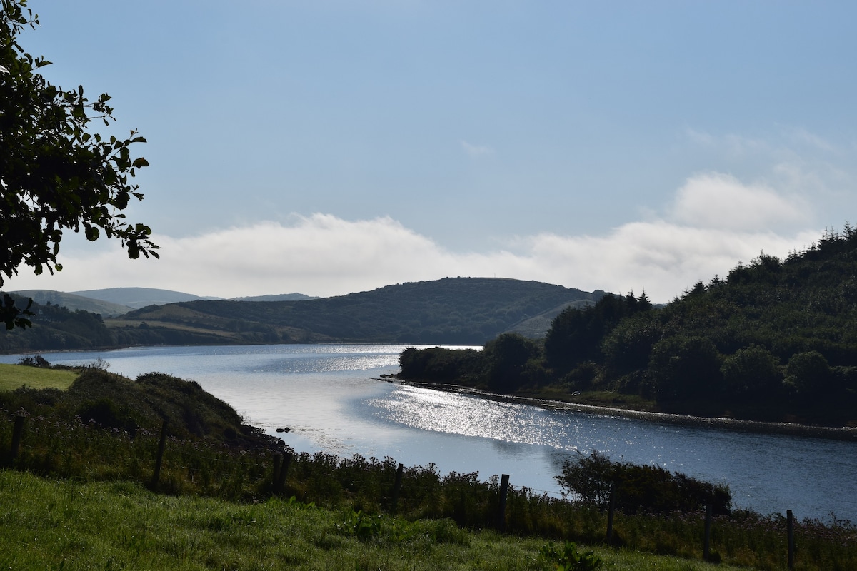 ToberaraHoly well · 914 yd
 farm housefarm house · 1669 yd
 TrabaunBeach / strand · 1689 yd
 CastlenageehaCastle, unclassified · 1.1 mi
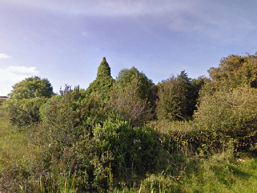 Lackan Church (Lackan)church/chapel · 1.2 mi
 CastleCastle, unclassified · 1.2 mi
 French Landing 1798Memorial · 1.3 mi
 Rinnaun PointHeadland · 3.1 mi
 Green IslandIslet · 3.5 mi
 Battle of Killalabattle · 3.7 mi
 Lisheen Grave YardArchaeological place · 4.4 mi
Other information
Photo: Credit not shown in the picture search · Rights wording not checked; contact us if this picture should be removed