What is recorded here
Standing stone in Farranfadda is a 1.07m tall marker with narrow quartz veins, leaning slightly south-east on a boggy slope above the Coomhola River. It is not a distant myth but a visible human act, likely set as a boundary, memorial or meeting point on rough grazing land. The intermittent packing-stones at its base suggest someone chose the exact spot, packed the ground and left the stone standing where it could be seen.
On rough grazing, on bog on a S-facing slope on the W side of the valley of the Coomhola River. This standing stone (1.25m x 0.27m; H 1.07m), which features narrow quartz veins, is orientated ENE-WSW and leans slightly to the SSE. Packing-stones are visible intermittently along the base of the stone.
The above description is derived from 'The Archaeological Inventory of County Cork. Volume 5' (Dublin: Stationery Office, 2009).
Date of upload: 22 December 2009
Likely dating to the Neolithic or Bronze Age, this standing stone may have had ritual or territorial significance, possibly aligned with solar or seasonal markers. No specific folklore or detailed use is recorded for this site.
The monument record does not grant public access. Check the route and ask the landowner before entering private land.
- What survives
- Recorded monument
Places near here
 Boulder-burial in Mill LittleBoulder-burial · 304 yd
 Coomhola Salmon Trust (Streamscapes)Museum · 1036 yd
 Mass-rock in DerrynakillaMass-rock · 1108 yd
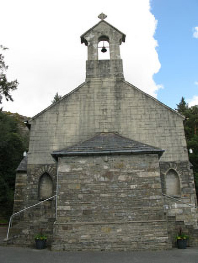 St. Joseph's Roman Catholic Churchchurch/chapel · 1.0 mi
 Rose Cottagehouse · 1.1 mi
 Daly's LoopWalking route · 1.1 mi
 An Cab DubhMountain / peak · 1.3 mi
 Snave StrandBeach / strand · 1.6 mi
 Coomhola MountainMountain / peak · 1.8 mi
 Snave BayBay · 2.0 mi
 Chilean myrtleChilean myrtle · 2.0 mi
 Ardnatrush ViewViewpoint · 2.2 mi